4 Free Charlevoix Lookouts in One Drive: Baie-Saint-Paul, Clermont, La Malbaie & Cabot
Last updated: November 5, 2026
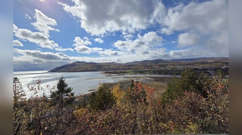
Four lookouts, one road, zero admission fees. On our Charlevoix fall road trip this October, we strung together four completely free viewpoints along the river road — a rest-stop belvédère above Baie-Saint-Paul, a heritage-site cross crowning its own mountain in Clermont, a hilltop cemetery in La Malbaie that hides the best view in Charlevoix, and a little roadside stop where a seagull guards the railing. End to end, the whole route is just 59.5 km. Here they are on one map — because the best part is how close together they are.
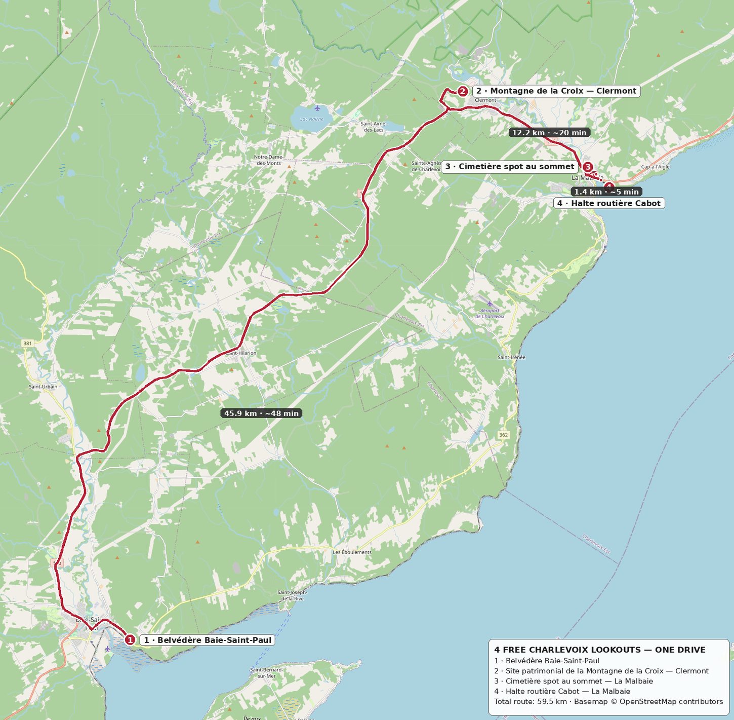
🚗 The route at a glance: Stop 1 → Stop 2 is 45.9 km, about 48 minutes on Route 138. Stop 2 → Stop 3 is 12.2 km, about 20 minutes. Stop 3 → Stop 4 is just 1.4 km, about 5 minutes. Total driving: 59.5 km — an easy morning or afternoon, and every stop is free.
🌿 Quick Take
- Four lookouts, one road, zero admission fees — end to end, the whole route is just 59.5 km.
- Stop 1: Belvédère Baie-Saint-Paul — the big panorama: town, tidal flats, island.
- Stop 2: Site patrimonial de la Montagne de la Croix, Clermont — a heritage-site cross crowning its own mountain.
- Stop 3: Cimetière St-Étienne, La Malbaie — the hilltop cemetery that hides the best view in Charlevoix.
- Stop 4: Halte routière Cabot — a little roadside stop five minutes from the cemetery hill.
🌄 Stop 1: Belvédère Baie-Saint-Paul
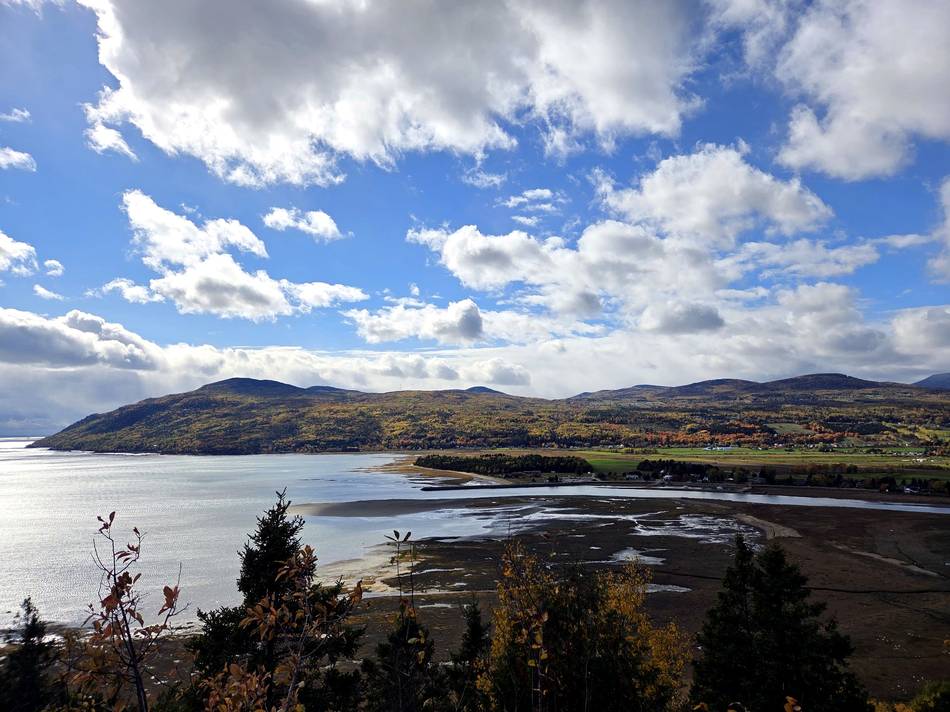
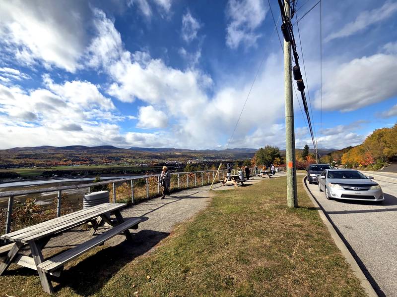
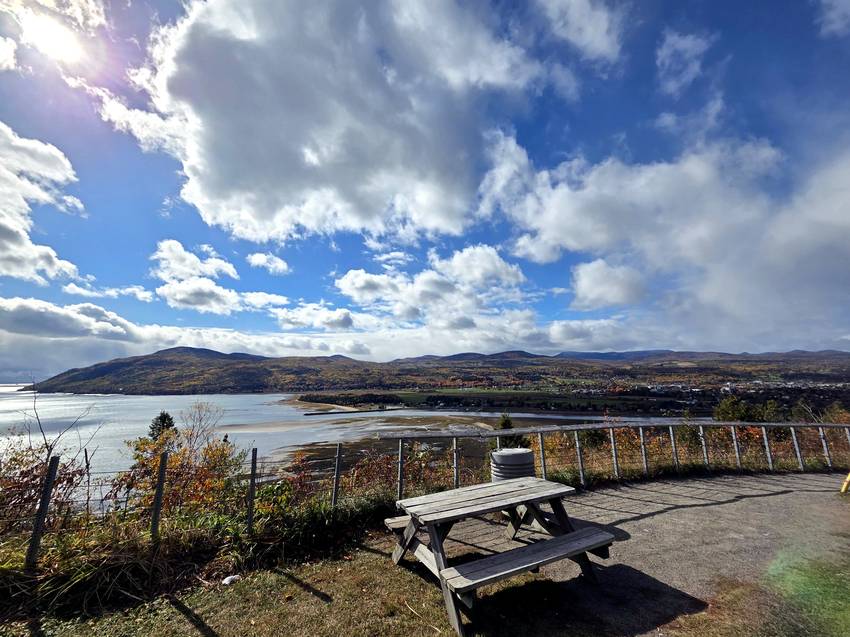
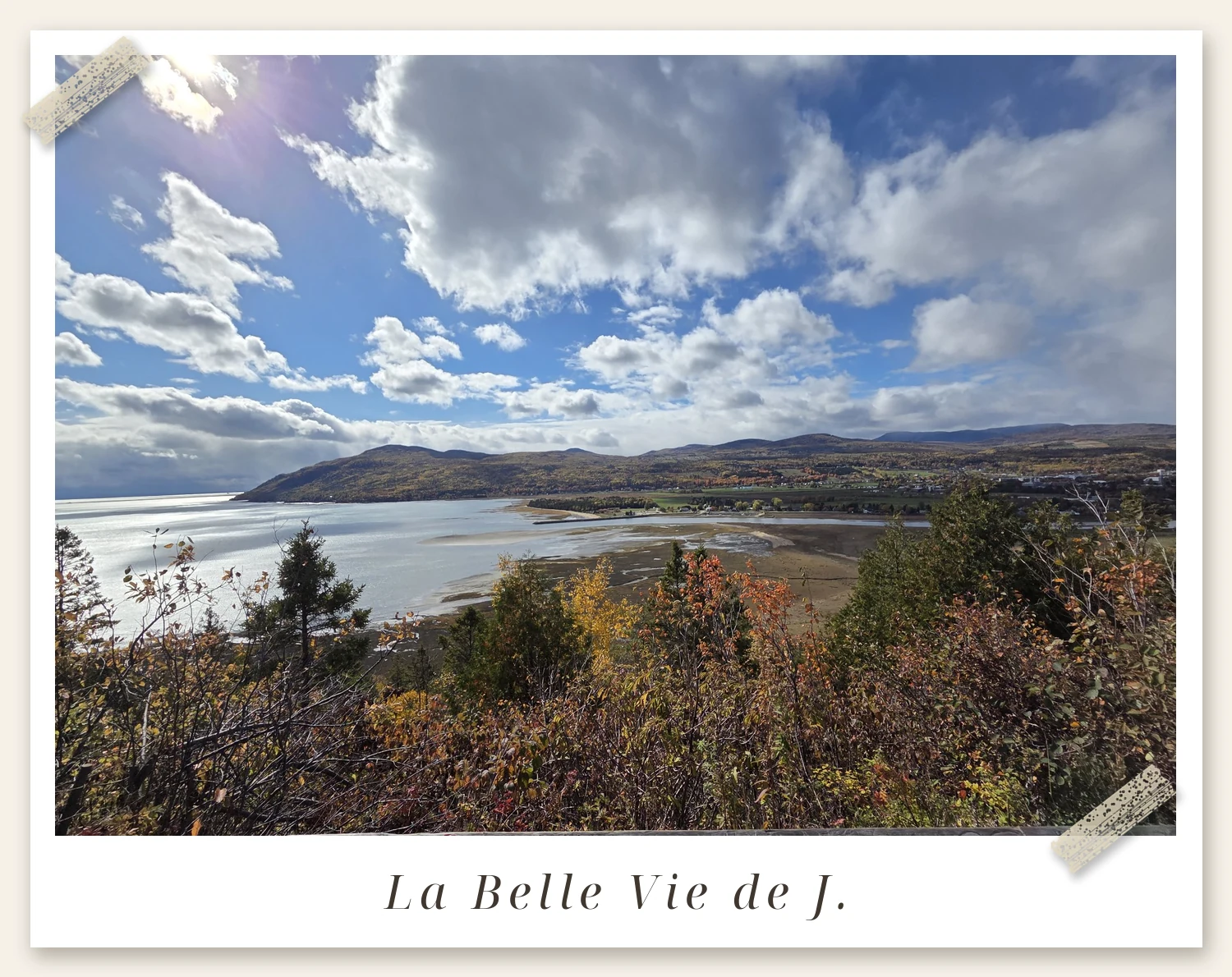
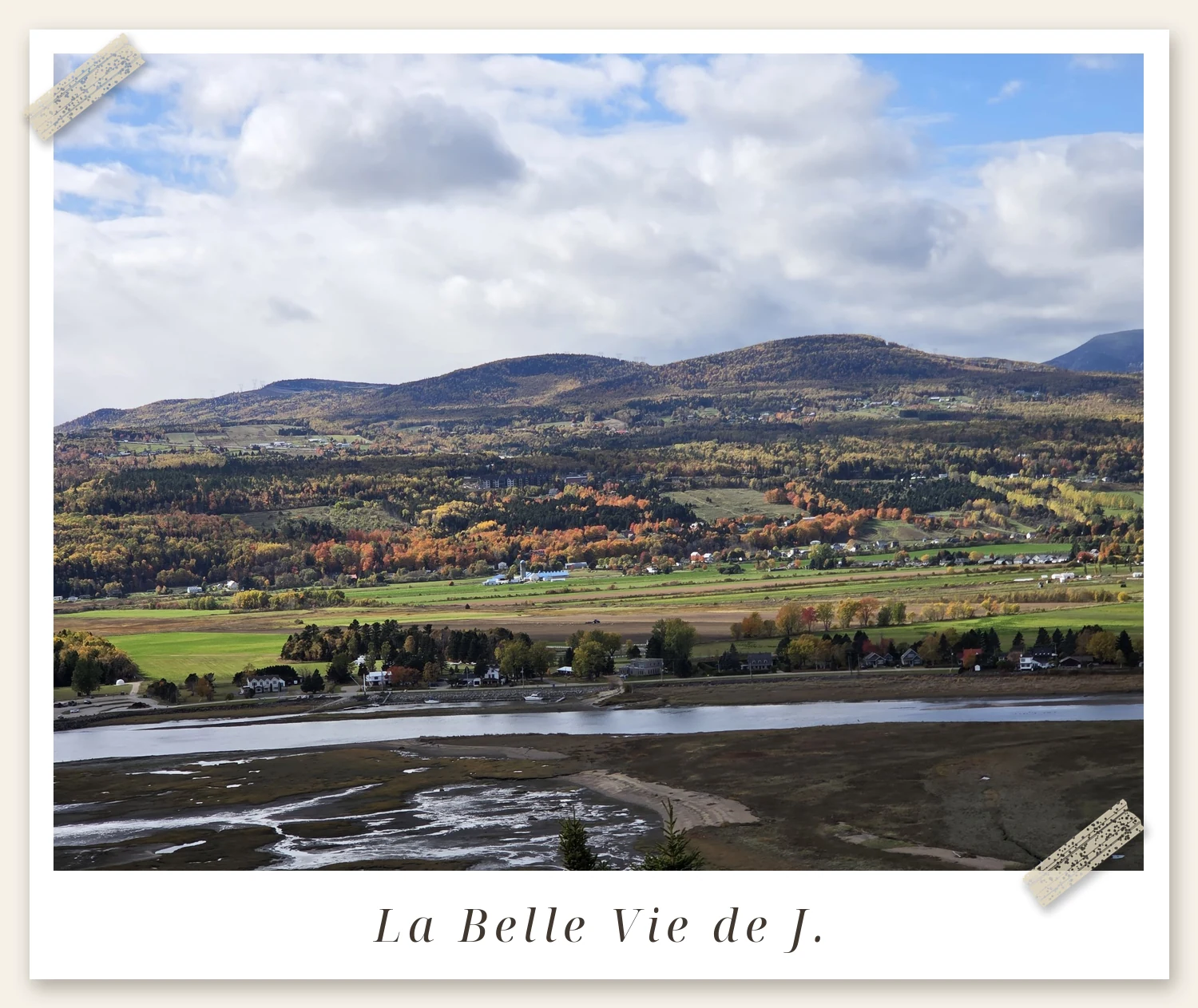
Coming from Québec City, this is your first great stop. The belvédère sits on the Route 362 river road, just off Route 138 above the town — a proper rest area with parking and picnic tables, so nobody has to hang out of a car window for the photo. Below you: the whole town and its church spires, the tidal flats of the Rivière du Gouffre, and Île aux Coudres out in the St. Lawrence. We stopped on a grey, overcast day and it still looked like this — don’t let the weather talk you out of it; in person, the fall colours were even better.
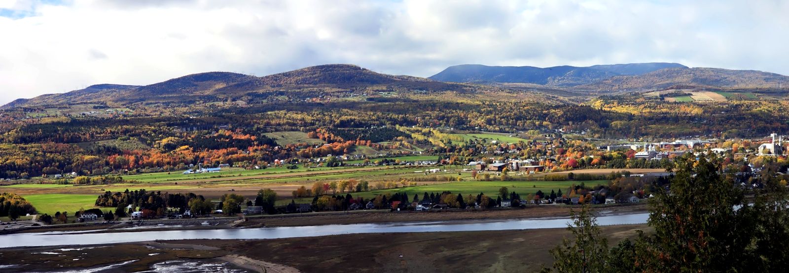
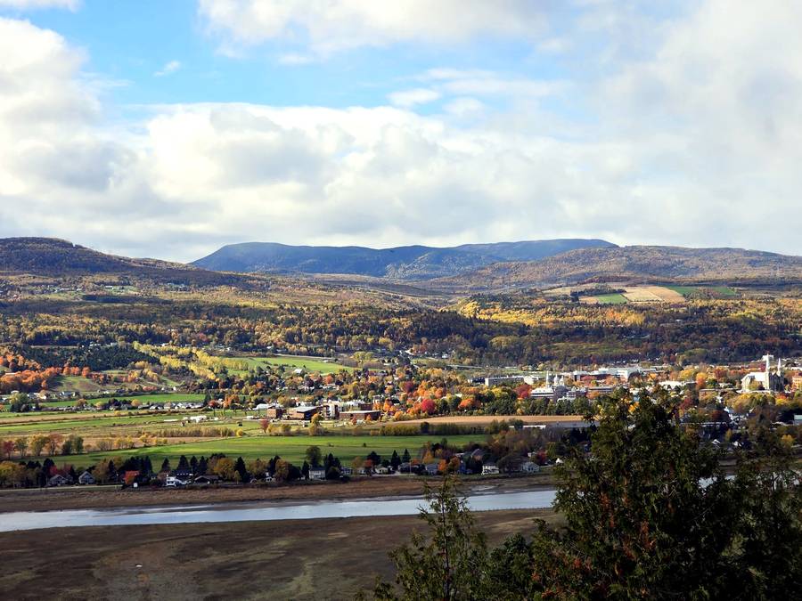
Want the full stop-by-stop version? Here is my detailed guide to the Belvédère Baie-Saint-Paul viewpoint.
📍 Belvédère Baie-Saint-Paul: Route 362 (Route du fleuve), just off Route 138, Baie-Saint-Paul · View on Google Maps
⛰️ Stop 2: Site patrimonial de la Montagne de la Croix, Clermont
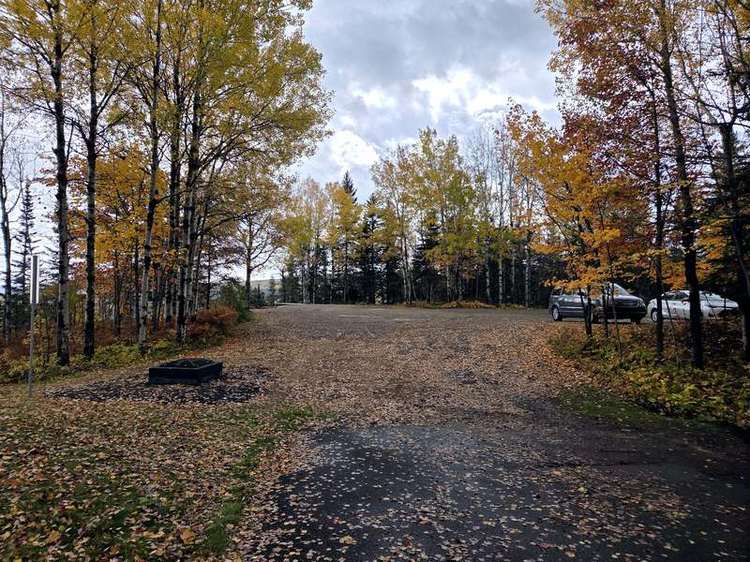
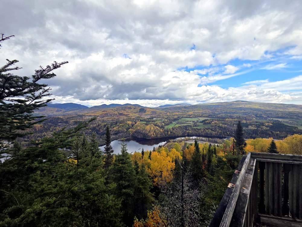
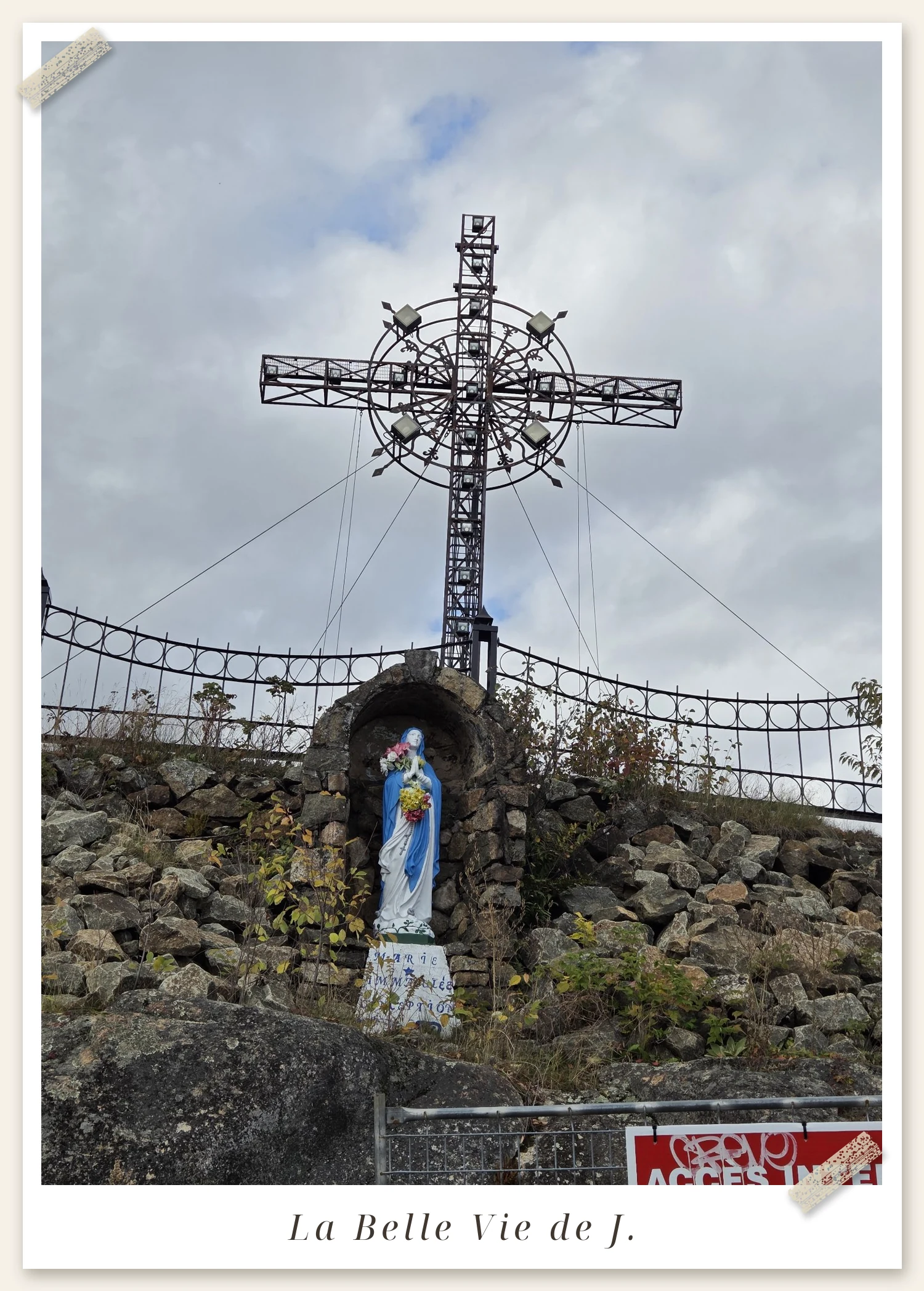
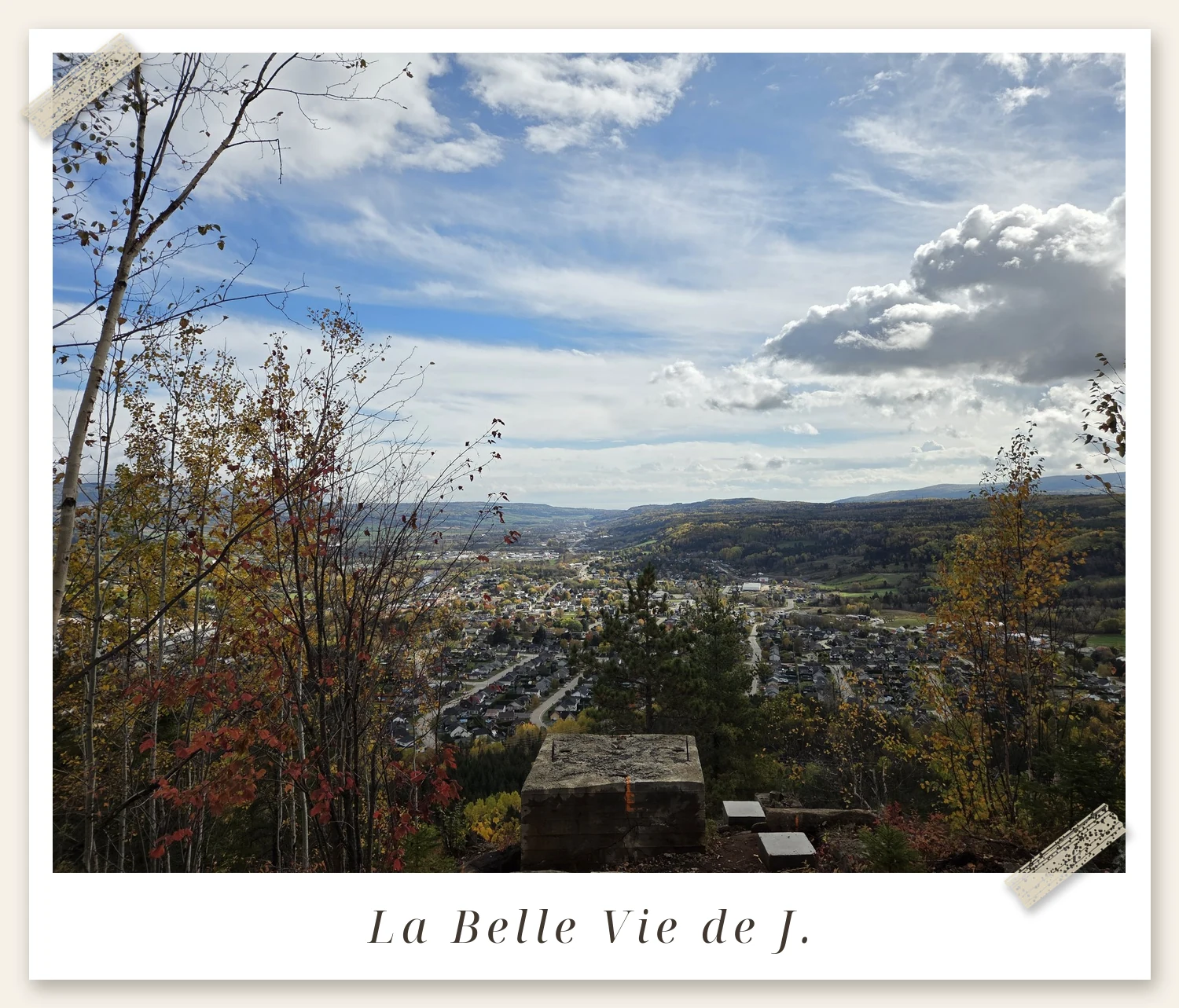
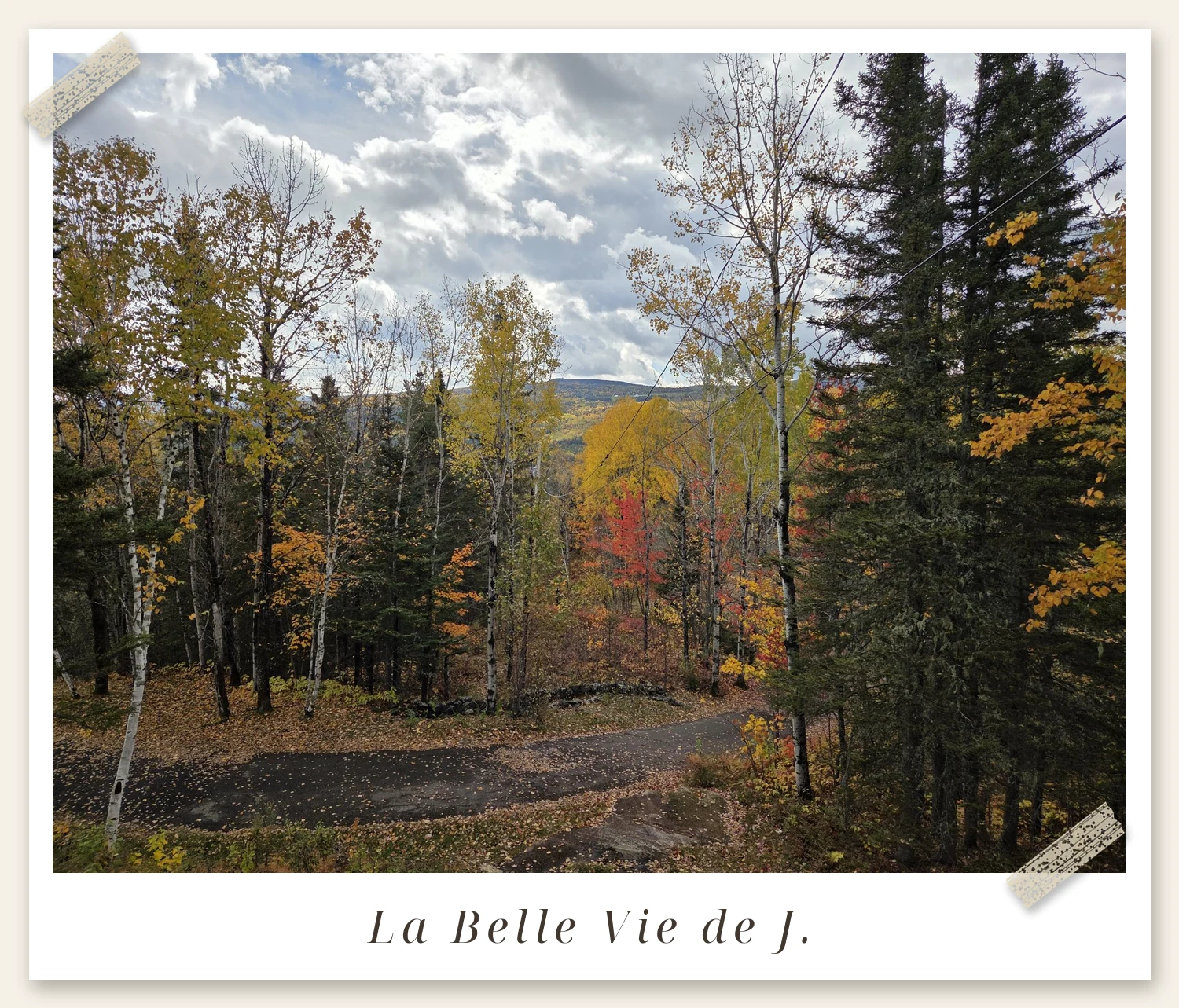
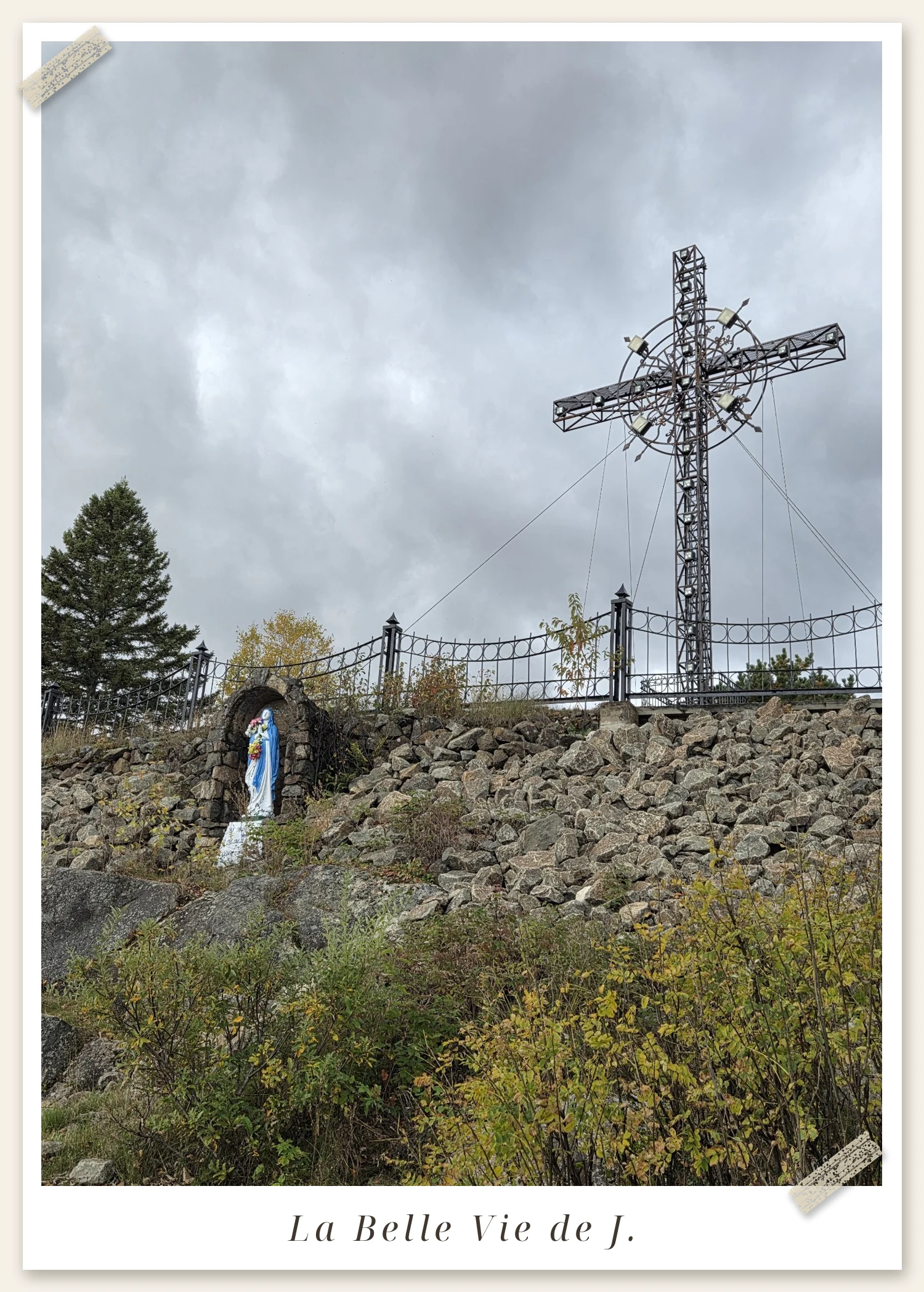
About 45 minutes east of Baie-Saint-Paul, the road climbs into Clermont — and up to a very different cross. The Site patrimonial de la Montagne de la Croix, a registered heritage site since 2013, crowns its own mountain above the town. Don’t be put off by the access road — it starts unpaved, then turns to pavement and ends at a big gravel parking lot tucked into the birch trees. Follow the path up and the site unfolds in order: a stone grotto of Mary at the foot of the great steel cross, the cross itself, and a wooden observation deck. From the top, the panorama turns a full 360° — the town of Clermont, the Malbaie River valley, the Charlevoix backcountry, and a quiet little lake in the valley below the deck.
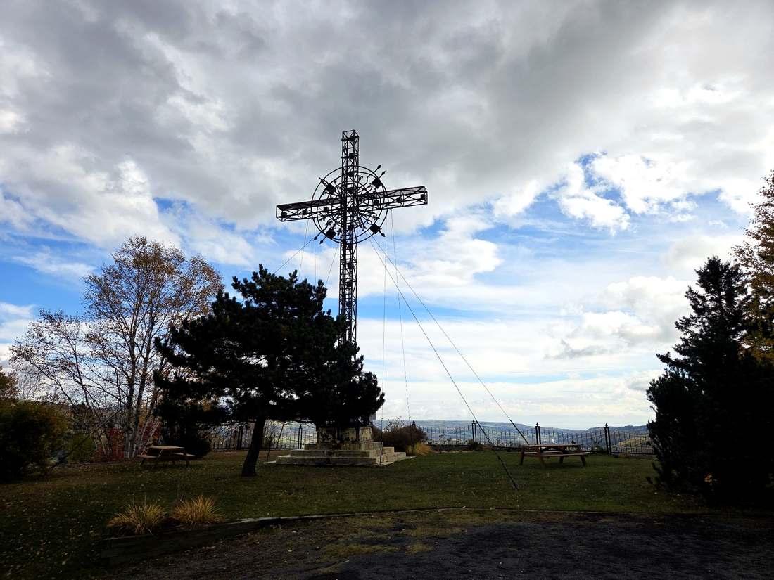
Good to know: it’s completely free, in Clermont — set your navigation to “Site patrimonial de la Montagne de la Croix, Clermont” (Chemin de la Croix). When we visited in October 2026, the platform right at the foot of the cross was fenced off with an “ACCÈS INTERDIT” sign for repairs — the grotto and the belvederes were wide open. Allow about 30 minutes.
📍 Montagne de la Croix: Chemin de la Croix, Clermont · View on Google Maps
✝️ Stop 3: Cimetière spot au sommet, La Malbaie
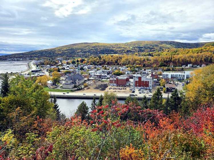
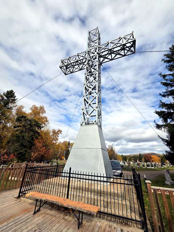
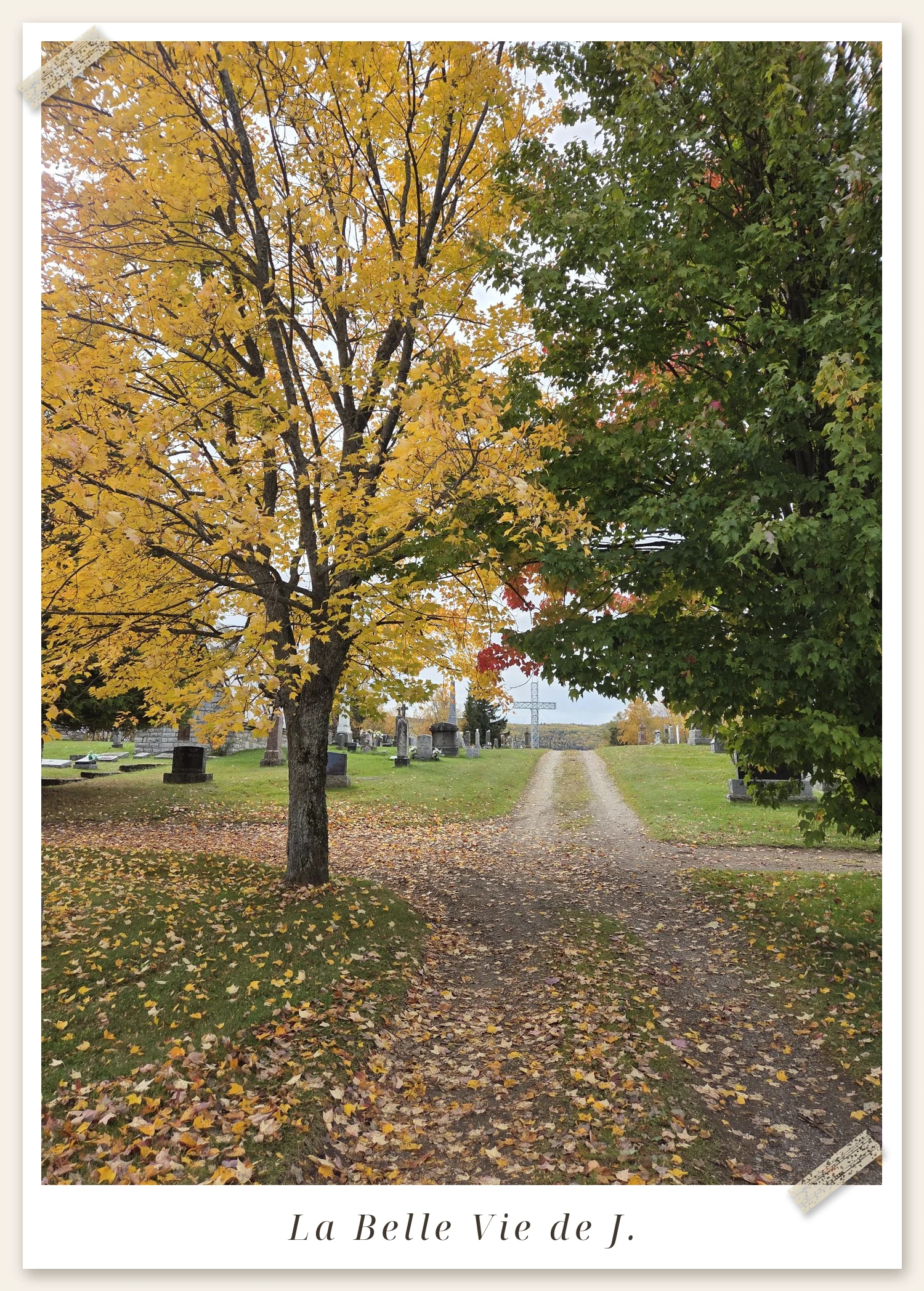
Twenty minutes east, in La Malbaie, comes the stop nobody believes until they see it: the finest viewpoint in town is a cemetery. Cimetière St-Étienne, opened in 1904 and listed on Google Maps as “Cimetière spot au sommet” — the cemetery spot at the summit — climbs the hill above the village, crowned by the silver Croix du cimetière. From its lanes, the whole postcard lies below: the village, Saint-Étienne church and the Baie de La Malbaie.
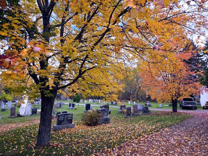
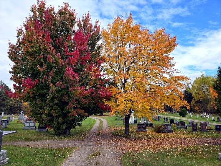
A thought I keep having, here as back home in Korea: the finest views so often belong to a cemetery — the ancestors chose the good spots first.
Good to know: it’s completely free, at 89 Rue du Bosquet. Allow about half an hour, and please be respectful: it is an active parish cemetery first. Staying at the Fairmont Le Manoir Richelieu? This is only minutes away. And here is the full story of La Malbaie’s hilltop cemetery, the best view in Charlevoix.
📍 Cimetière spot au sommet: 89 Rue du Bosquet, La Malbaie · View on Google Maps
🌊 Stop 4: Halte routière Cabot
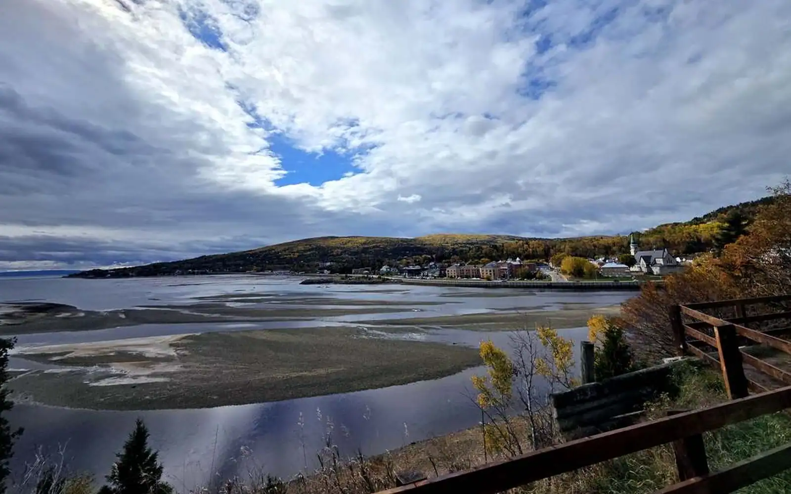
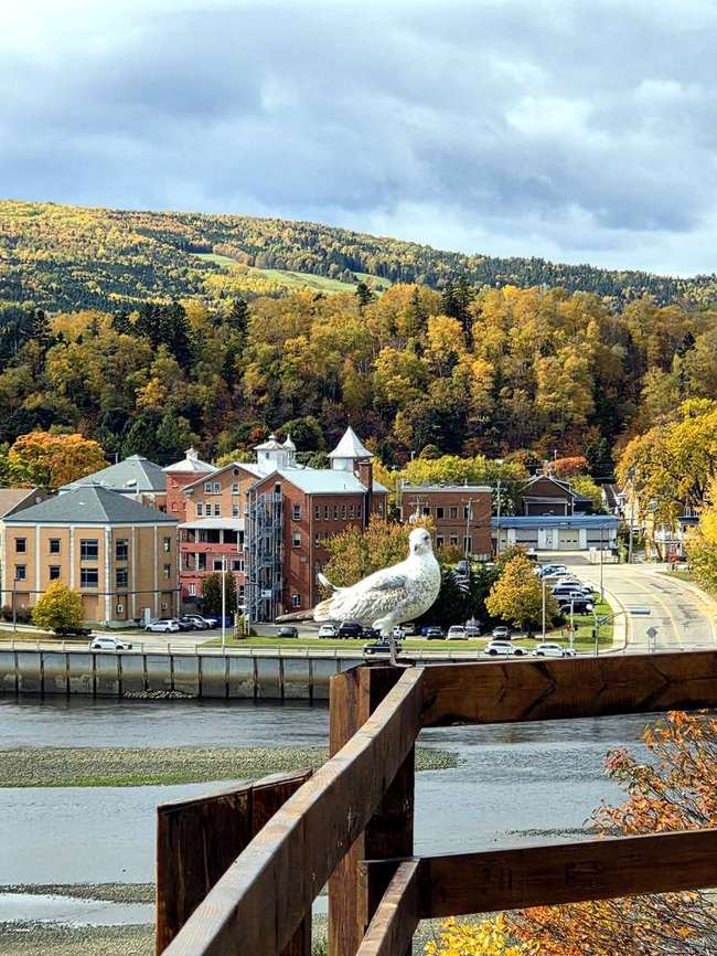
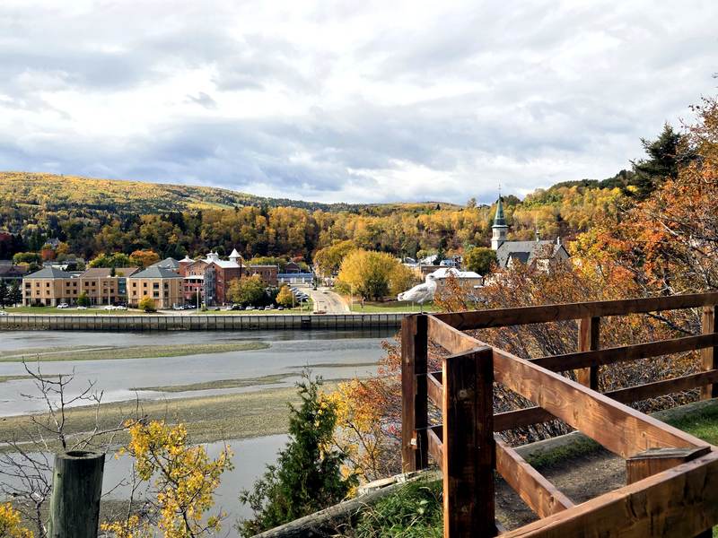
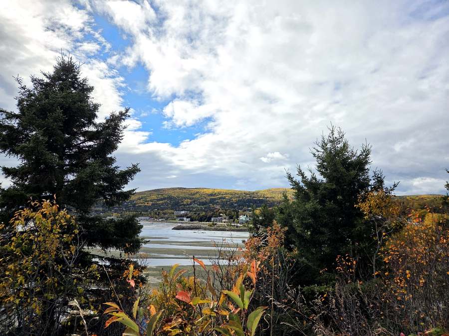
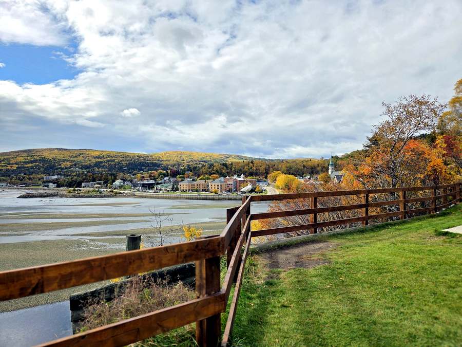
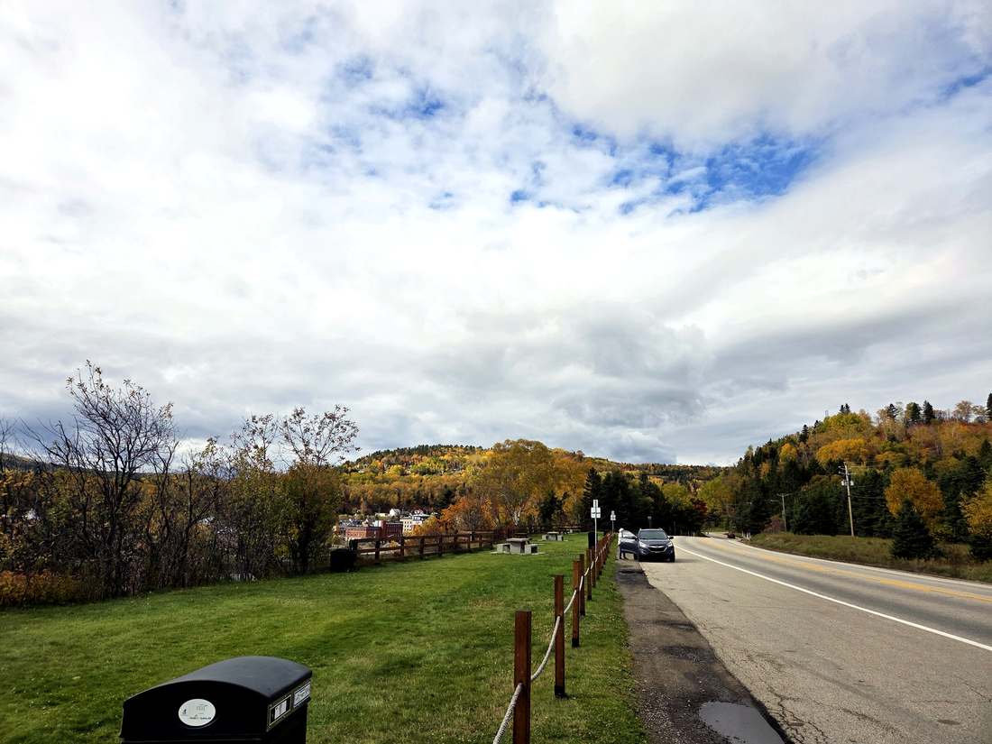
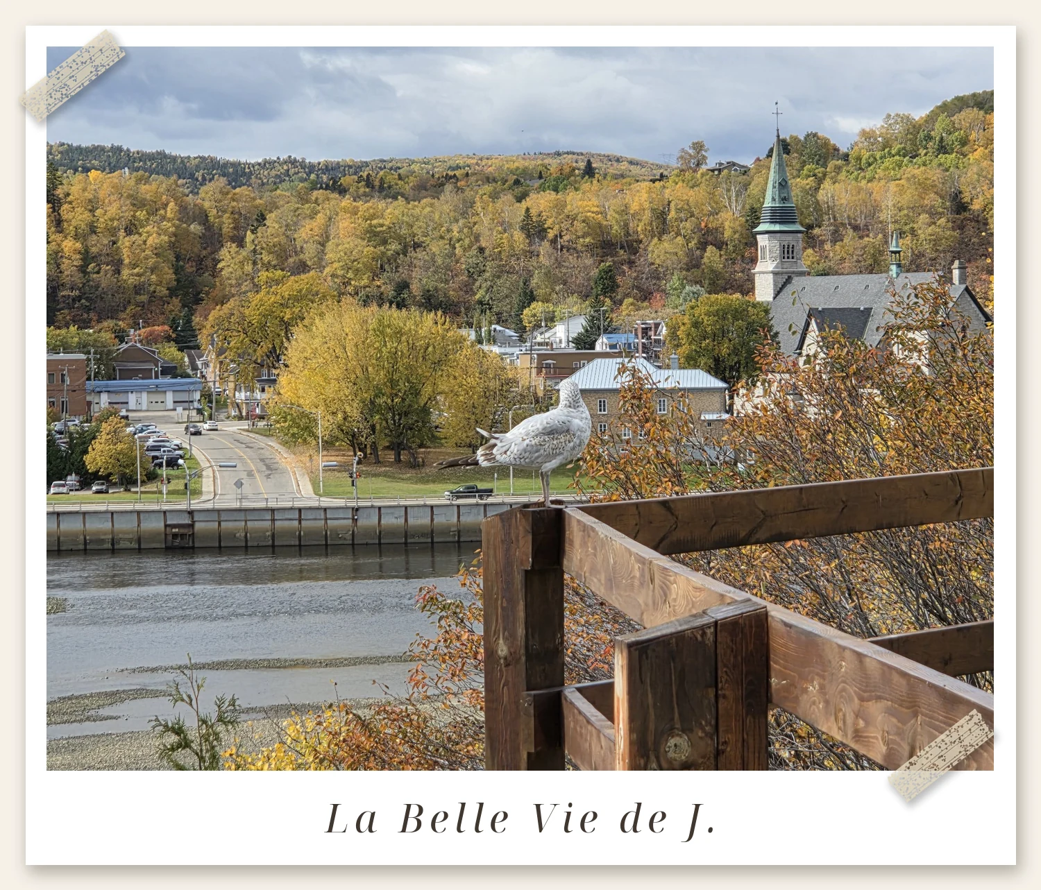
Five minutes — truly, 1.4 km — from the cemetery hill, right on Boulevard Malcolm-Fraser (Route 138) as you leave La Malbaie toward Tadoussac, there’s a small roadside rest area called Halte routière Cabot. We actually stopped here first, on our way up to the cemetery, and it’s the perfect appetizer: picnic tables on the grass, a long wooden fence, and the whole Baie de La Malbaie spread out below. Come at low tide and the bay empties into ribbed, silver flats. A local seagull has claimed the railing and clearly considers the place his — he posed for us twice.
Cabot also makes a cameo in my Fairmont Le Manoir Richelieu review — it’s on the hotel’s road east. And if you keep driving this way, the road leads to the Chapelle de Tadoussac and the free Saguenay ferry.
📍 Halte routière Cabot: Route 138 (Boulevard Malcolm-Fraser), La Malbaie · View on Google Maps
🧭 On the Road: Five Notes Before You Drive
- The whole route is 59.5 km and every stop is free — no tickets anywhere.
- Clermont’s access road starts unpaved, then turns to pavement and a big gravel lot — don’t turn back early.
- In October 2026 the platform at the foot of the Clermont cross was fenced off for repairs; the grotto and the belvederes were wide open.
- La Malbaie’s cemetery is an active parish cemetery first — take in the view quietly and respectfully.
- Time Cabot for low tide, when the bay empties into ribbed silver flats.
- From Québec City, west to east is the natural order.
🗺️ The Four Lookouts at a Glance
1. Belvédère Baie-Saint-Paul — best for the postcard shot.
🚗 45.9 km · ~48 min on Route 138
2. Montagne de la Croix, Clermont — grotto, great cross and deck above the Malbaie River valley. Best for the 360° summit panorama. Allow ~30 minutes.
🚗 12.2 km · ~20 min
3. Cimetière spot au sommet, La Malbaie — the hilltop cemetery with the village-and-bay view. Best for the view you’ll talk about afterward. Allow ~30 minutes.
🚗 1.4 km · ~5 min
4. Halte routière Cabot — a roadside fence over the tidal bay. Best for a picnic stop and low-tide flats.
We actually split them across two days — the Montagne de la Croix on our way to Tadoussac, then Cabot and the cemetery on the drive home — but coming from Québec City, west to east is the natural order. Four lookouts, 59.5 km, and the best fall colours in Québec — all of it free.
Have a wonderful day 💛
— J.
You May Also Like
Chapelle de Tadoussac: North America’s Oldest Wooden Chapel (Built 1747)
Sainte-Anne-de-Beaupré Basilica: The Québec Landmark Everyone Should See Once
La Malbaie’s Hilltop Cemetery: The Best View in Charlevoix
Photos: all taken by J. in Charlevoix, Quebec. Map: © OpenStreetMap contributors; route and distances via OSRM.
Get the Free Canada Savings Checklist
Join the newsletter — get the free PDF checklist and weekly Canada savings tips in your inbox.
Read Next
Some links in this post are referral or affiliate links. If you sign up or buy through them, I may receive a bonus or commission at no extra cost to you. It helps keep this blog running — thank you!