Isle-aux-Coudres: Free Ferry & the 23 km Island Loop
Last updated: November 5, 2026
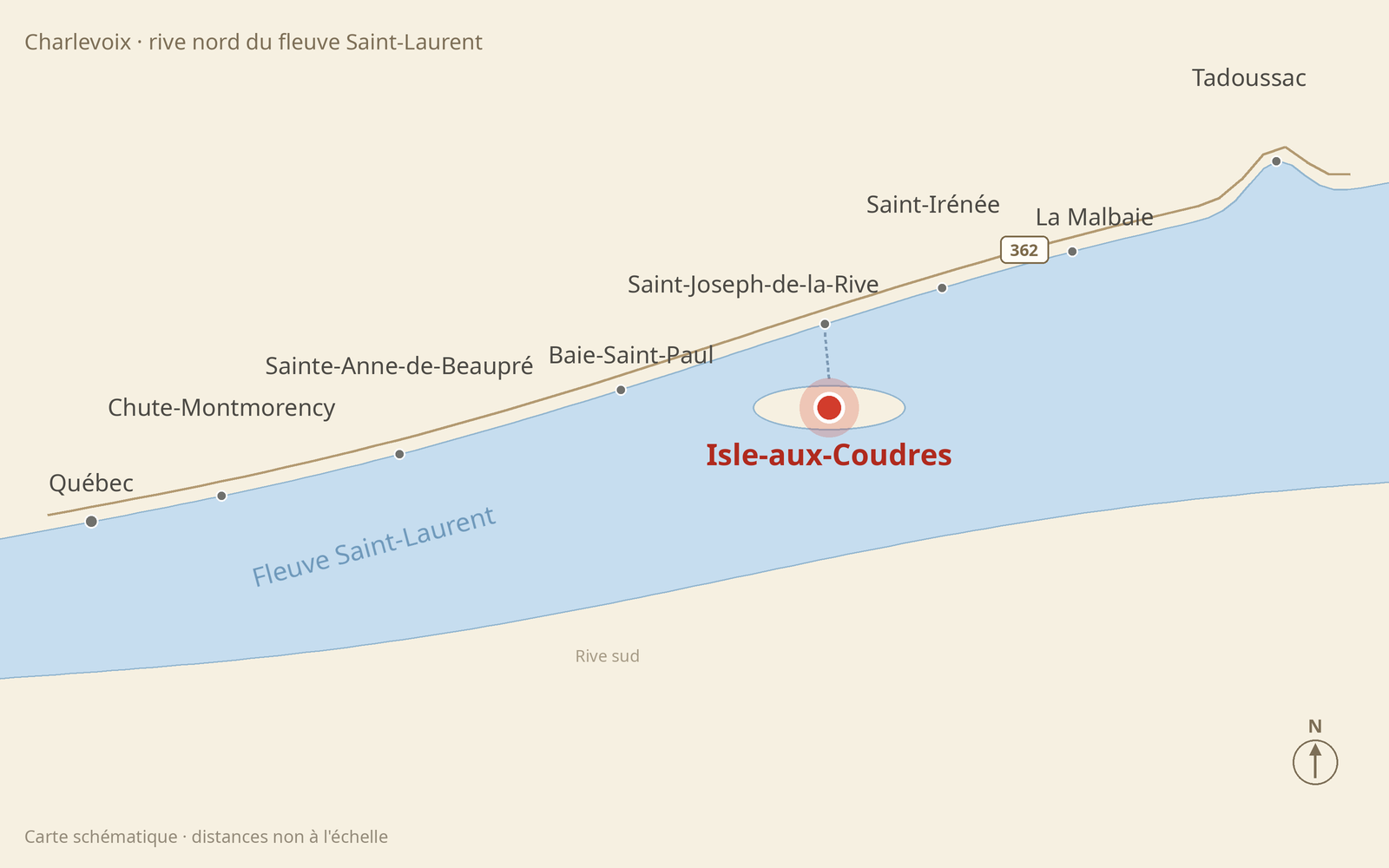
Bonjour! It’s J. — this is another stop in my little Québec series, the one where I collect beautiful places that reset your head without emptying your wallet. When I wrote about Saint-Joseph-de-la-Rive, the Charlevoix village I finally stopped driving past, so many of you asked about the free ferry at its dock that I went back, rolled my car aboard, and spent one slow day looping the island on the other side: Isle-aux-Coudres. Tourisme Isle-aux-Coudres · official tourism site
The island is a small, gentle world: about 10 kilometres long, ringed by a single shore road of roughly 23 kilometres, with two villages, one very old church, crosses at the roadside, and a Virgin standing watch over the river. Jacques Cartier anchored here in 1535 and named the place for its hazelnut trees — coudres, in the French of his day. What makes it perfect for this series is the arithmetic: the ferry is free, the big park is free, the viewpoints are free, and a picnic does the rest. I went once the busy season had wound down, and the island had emptied into the kind of quiet you can hear. No crowds, no rush — just the smell of the river and all the time in the world.
🌿 Quick Take
- The ferry from Saint-Joseph-de-la-Rive is completely free — car, bikes and all, and runs all year
- One shore road loops the whole island: about 23 km of river views, made to be driven slowly
- The big park at the island’s tip, Pointe du Bout d’en Bas, is free too — trails, picnic tables, tidal flats
- A Virgin statue from 1960 stands on a rock over the water, and 17 wayside crosses dot the loop
- The one purchase I insist on: the chocolate bread at Boulangerie Bouchard, baking since 1945
- Go after the busy season for the island at its most peaceful — and give it a full day, not a rushed hour
⛴️ The free ferry over
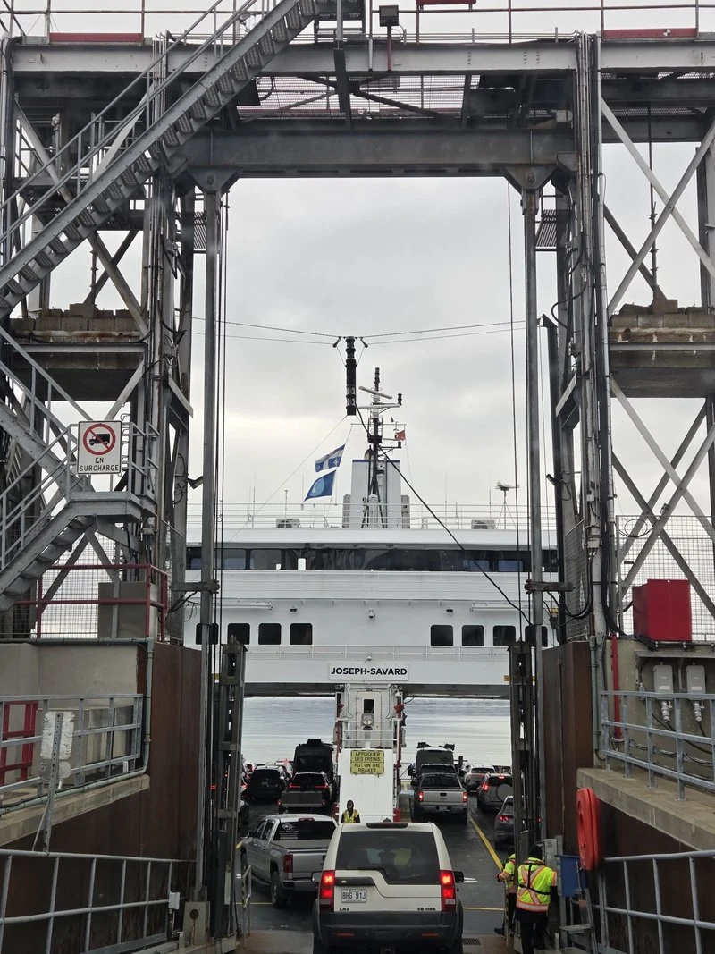
The day starts the way all good island days should: on the water. At the Saint-Joseph-de-la-Rive dock, you simply drive onto the NM Joseph-Savard — no ticket, no fare booth, no booking. The crossing is 3.7 km and takes about 15 to 20 minutes, and as I explained in my guide to Québec’s five free ferries, this one carries cars, cyclists and walk-on passengers free, all year round. Fifteen minutes of river air does something to your shoulders — by the time the ramp drops on the far side, the week has already fallen away.
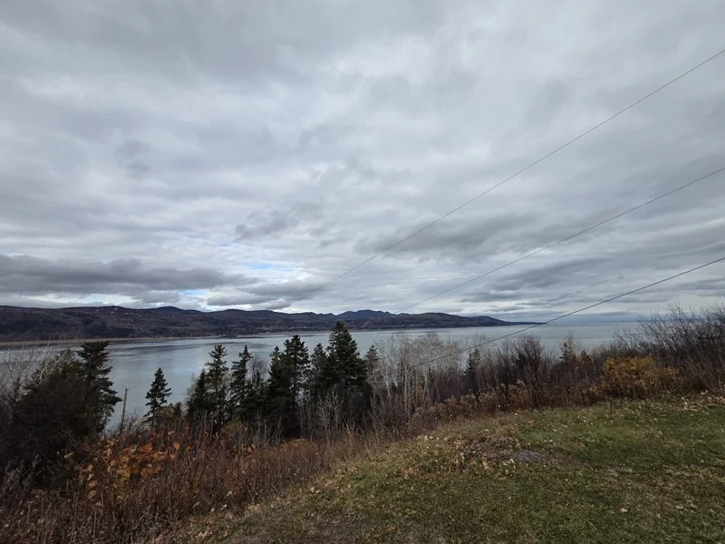
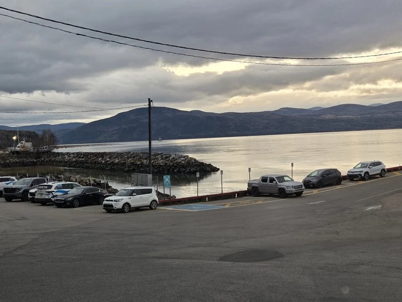
First sight of the island: the river, enormous and calm, with the Charlevoix mountains standing across the water. The loop road — chemin des Coudriers — starts right at the landing and circles the whole island, so the route plans itself. Turn, drive slowly, stop whenever something catches your eye. That is the entire method, and it is a good one.
🧺 First stop: Chez Paul
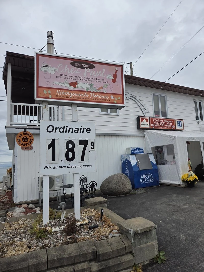
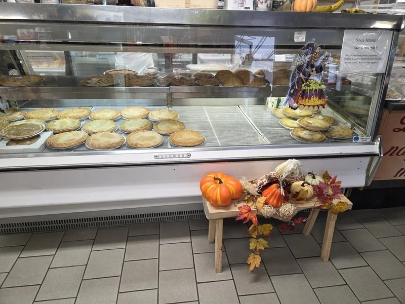
The loop’s first village is Saint-Bernard-sur-Mer, and its landmark is wonderfully practical: Épicerie Chez Paul, at 3269 chemin des Coudriers — part grocery, part gas station, and quietly famous for the food it makes itself. Islanders cross the island for its pâtés — the pâté croche and the trout pâté are the names you hear — and the display case of homemade pies and tourtières tells you why before you taste a thing. Tip: this is the place to stock your picnic — drinks, snacks, something sweet — before the park, where the tables are free and the view does the rest. View on Google Maps Official website
🌲 Pointe du Bout d’en Bas: the park at the end of the island
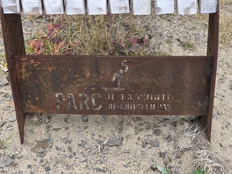
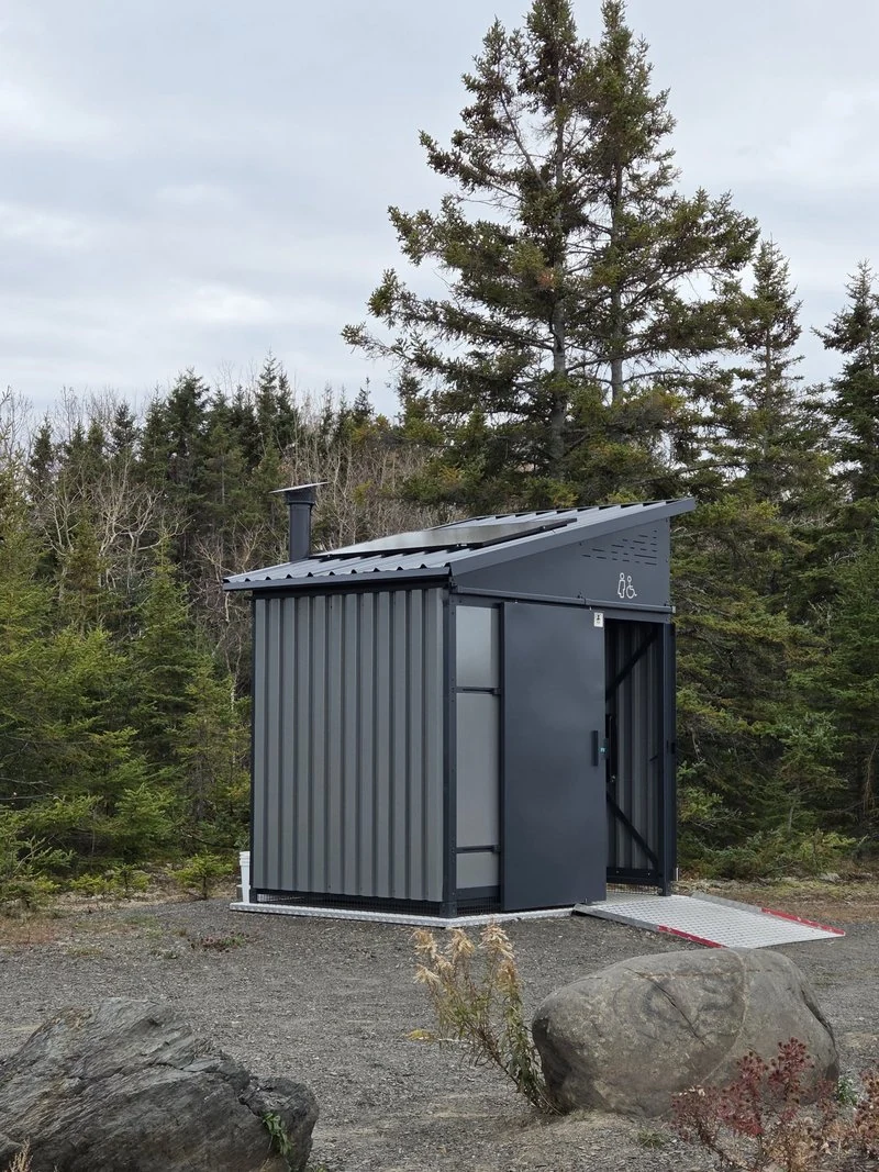
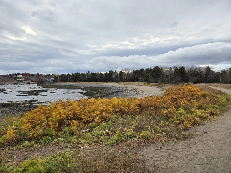
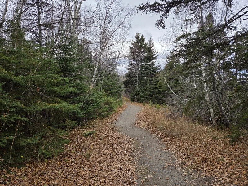
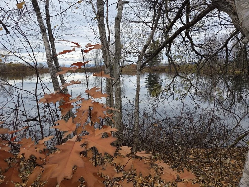
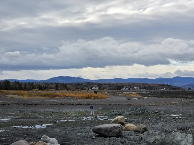
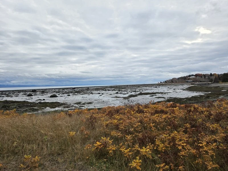
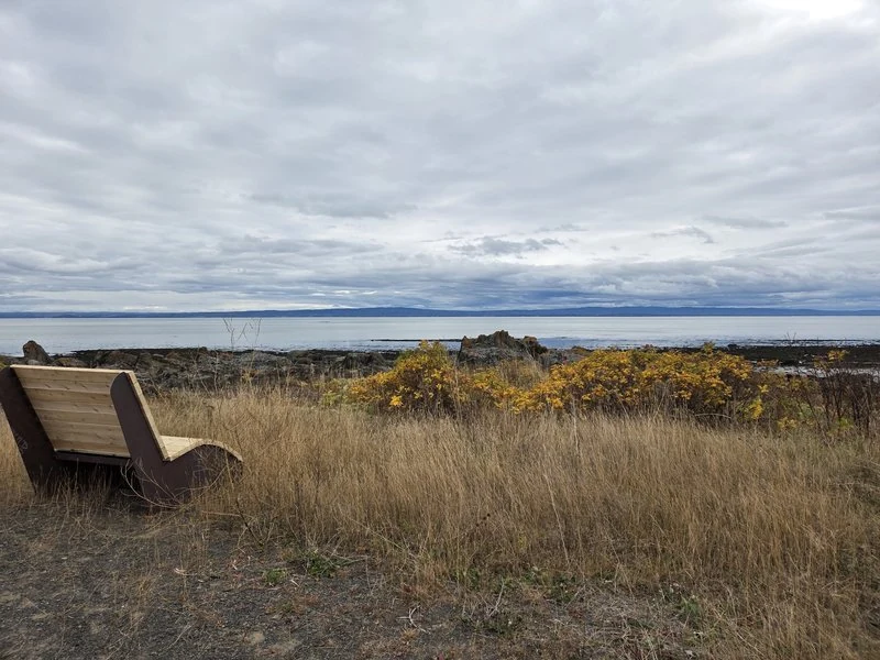
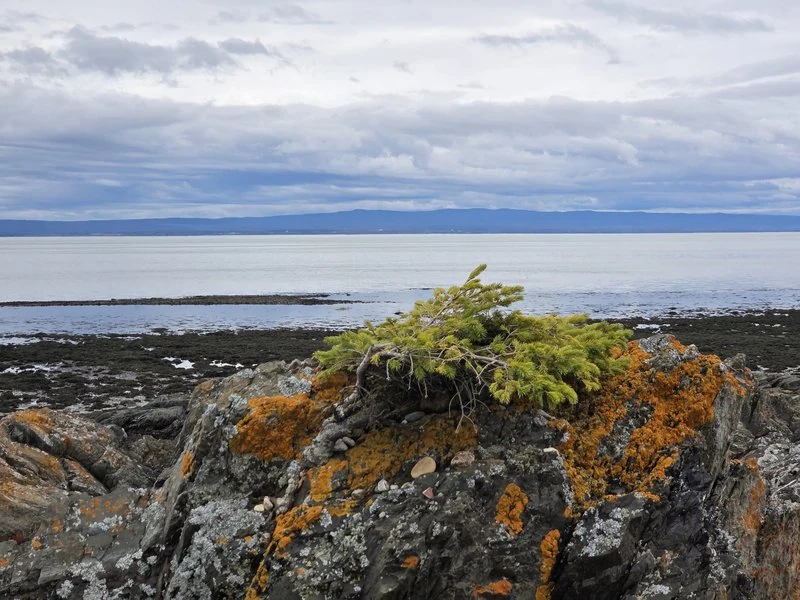
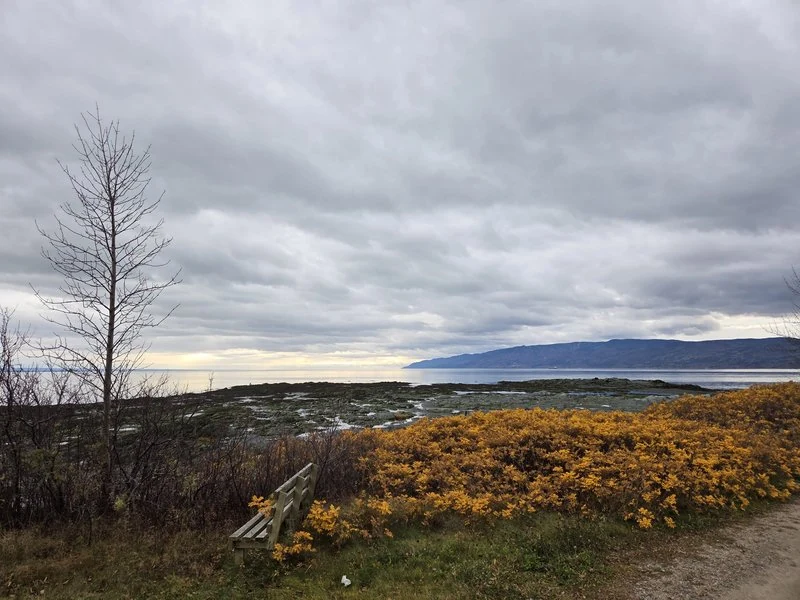
At the island’s far tip — the downriver end, as islanders reckon directions — a municipal park spreads out over a scatter of small coves: the Parc de la Pointe du Bout d’en Bas. Entry and parking are free, there is a proper little facilities building by the lot, and a loop trail of about 2 kilometres threads the coves together. On a quiet day you may have whole stretches of it to yourself.
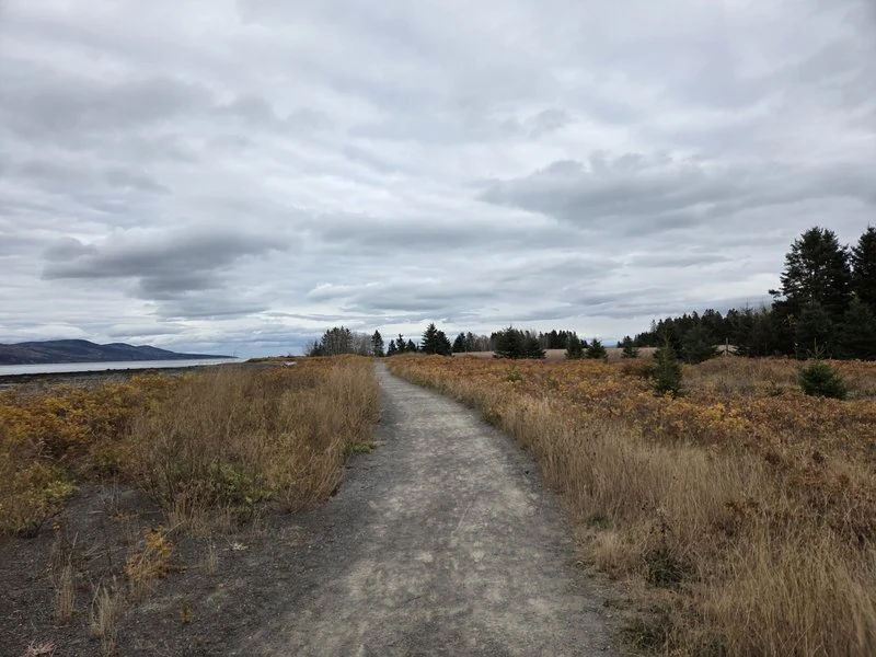
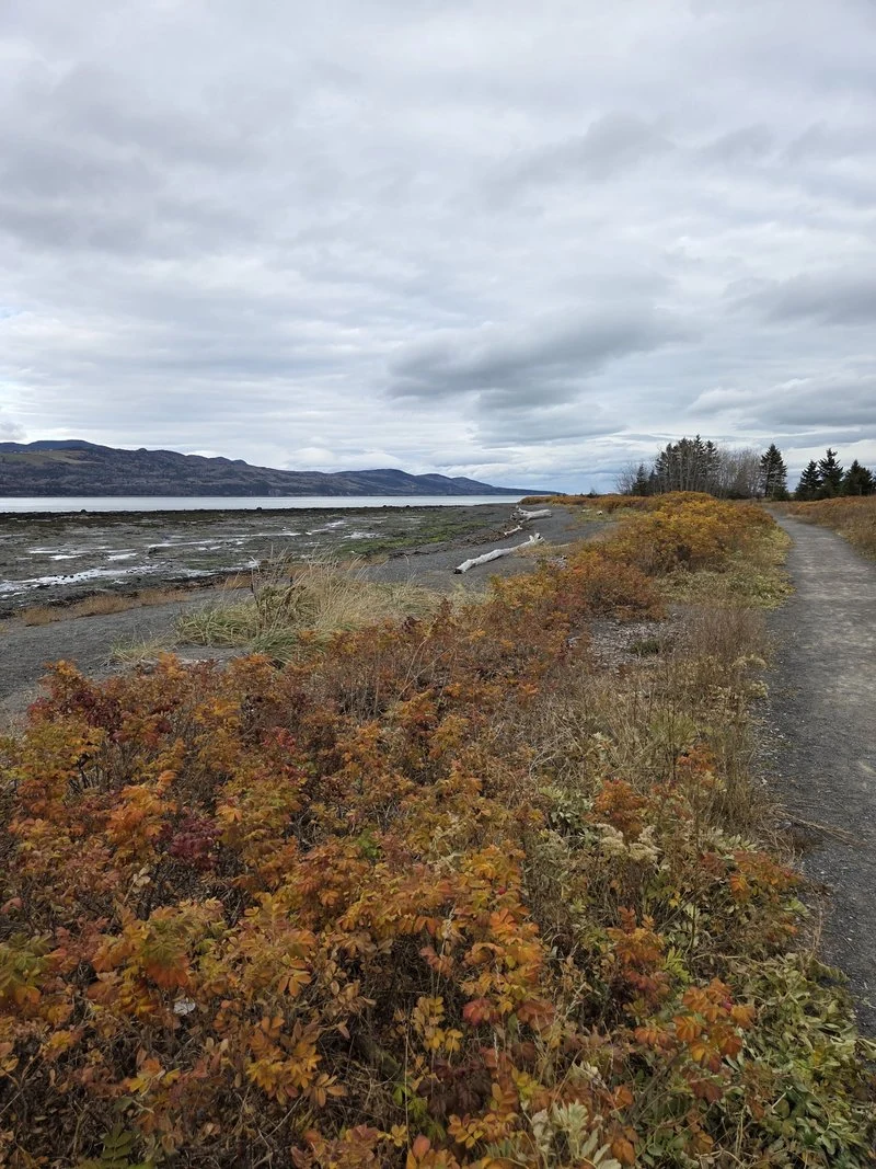
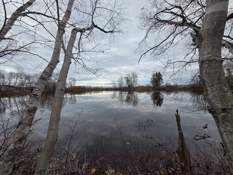
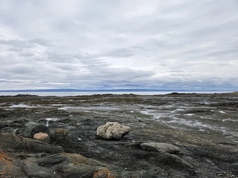
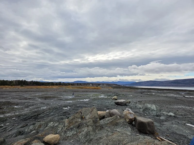
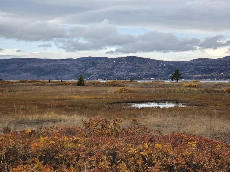
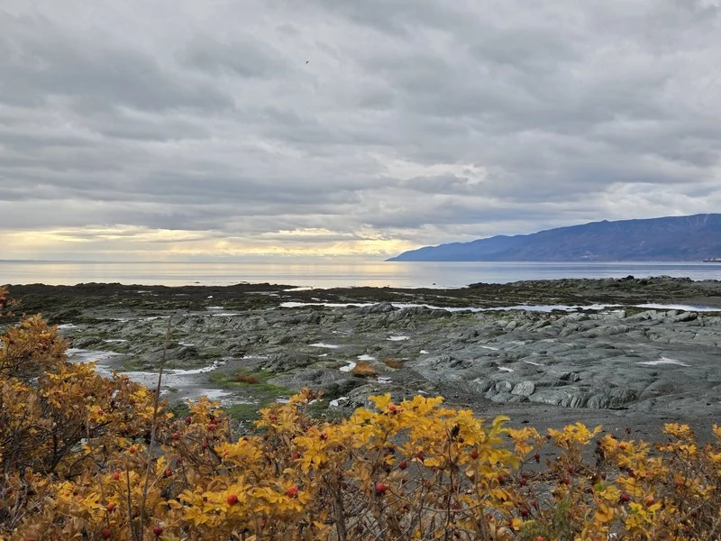
The trail changes character every few minutes: a sandy cove, a stand of spruce, a mirror-still pond behind the birches. Come at low tide, though, and the park doubles in size — the sea pulls back and leaves a vast, rippled flat you can walk far out on, the way people here have always done. I watched one walker cross the whole shining expanse, tiny against the mountains; along the shore, anglers were trying their luck in the shallows. And everywhere, that clean river smell — salt, seaweed and cold water — that tells your body it is somewhere else entirely.
🙏 The Virgin standing over the water
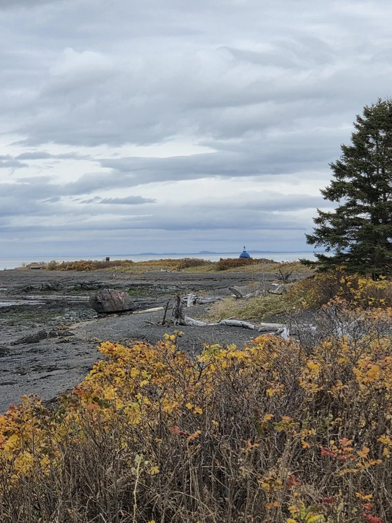
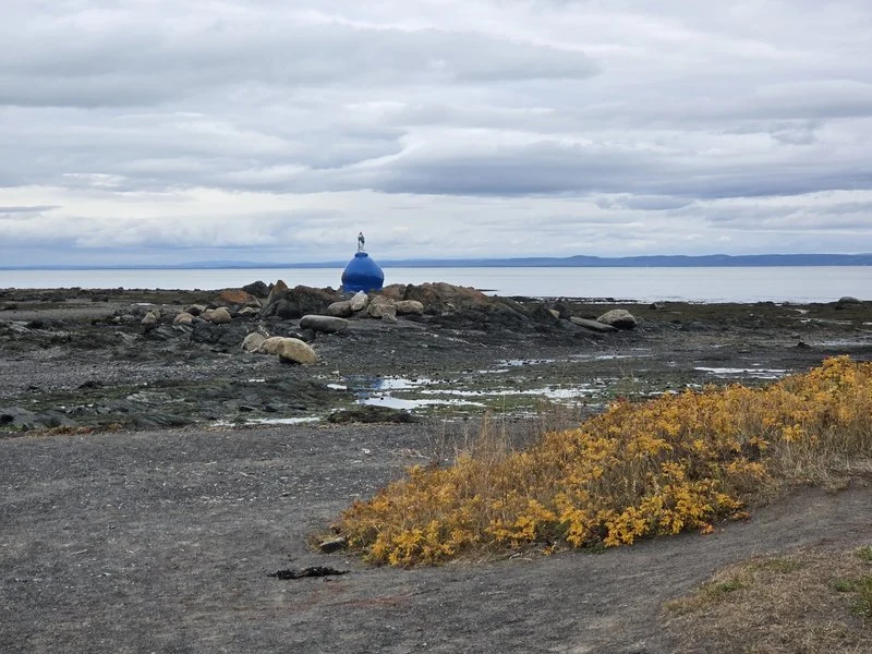
Walk the shore path far enough and you will see her in the distance first: a white Virgin on a round, blue-painted base, standing on the rocks at the water’s edge. She is Notre-Dame de l’Assomption — Our Lady of the Assumption — and islanders call her the Virgin on the Rock. In 1960, a local man, Horace Pedneault, raised her here in fulfilment of a vow he made for the healing of his sick son. At high tide the river closes around her base and she seems to stand on the water itself; at low tide, you can pick your way out across the flats and stand quietly beneath her.
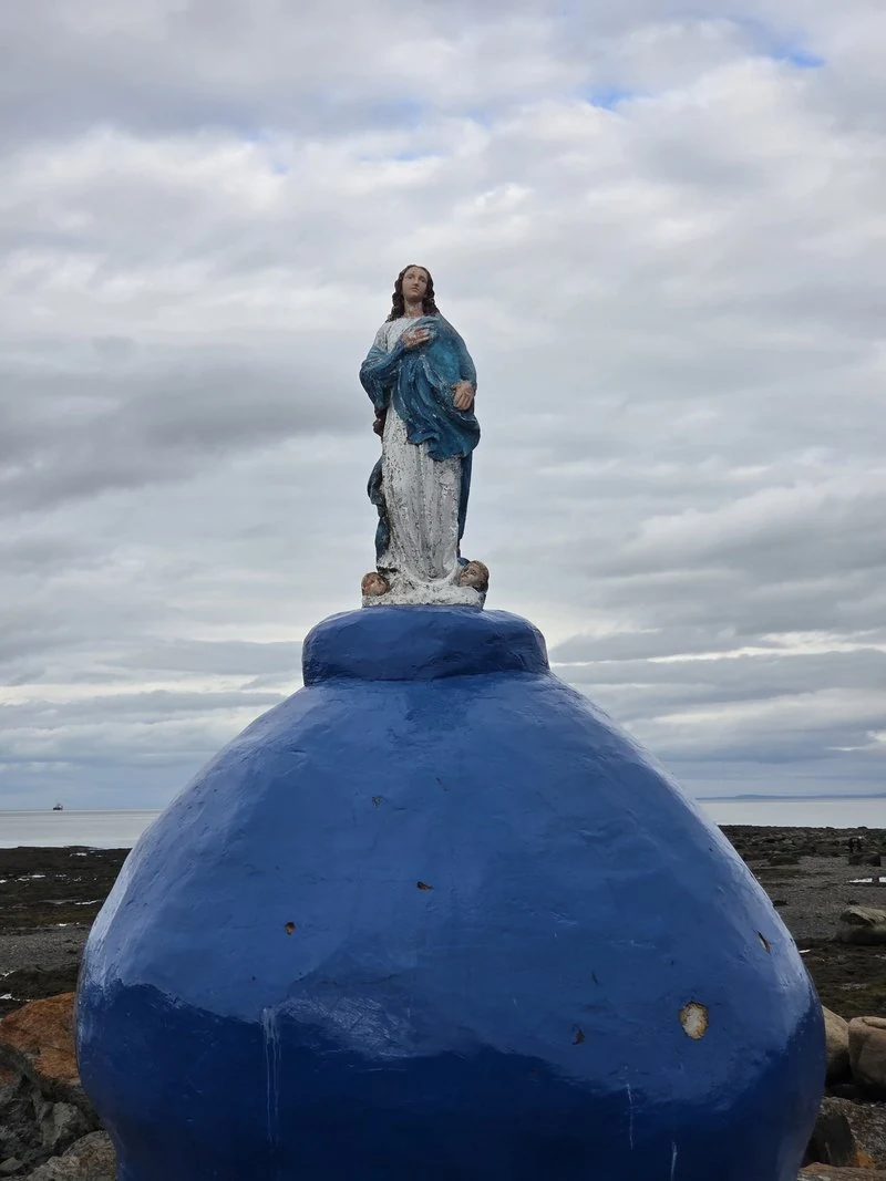
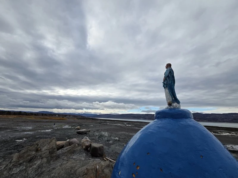
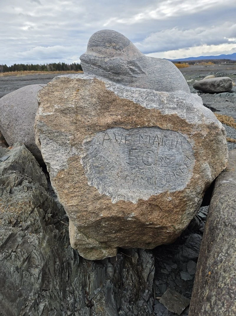
Beside the path, someone has carved a boulder with the words AVE MARIA and 50 ANS — fifty years — a quiet anniversary kept in stone. Nobody hurries here. It is the kind of place where you lower your voice without deciding to.
🚗 The shore road: 23 kilometres of postcards
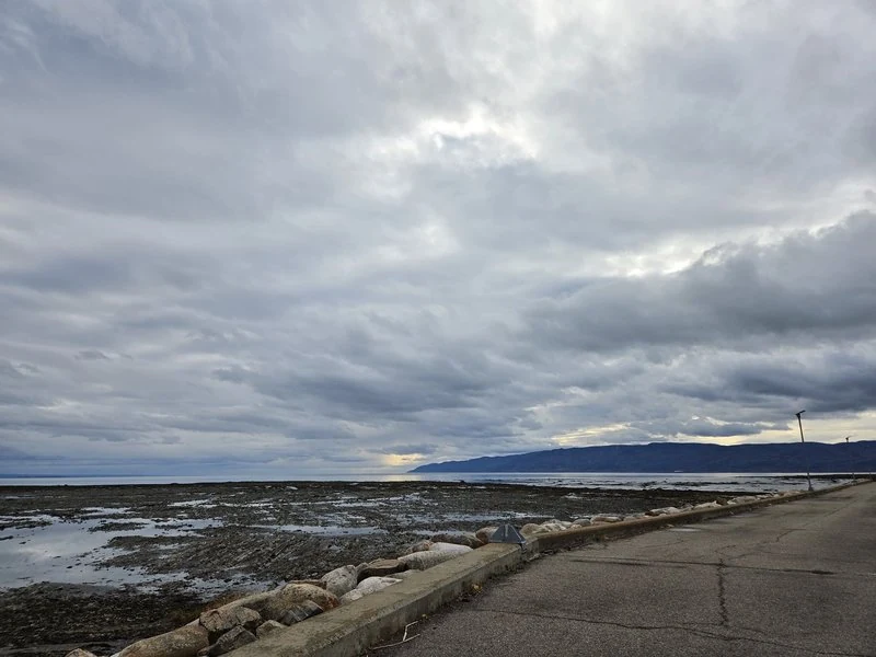
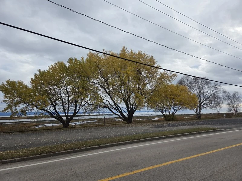
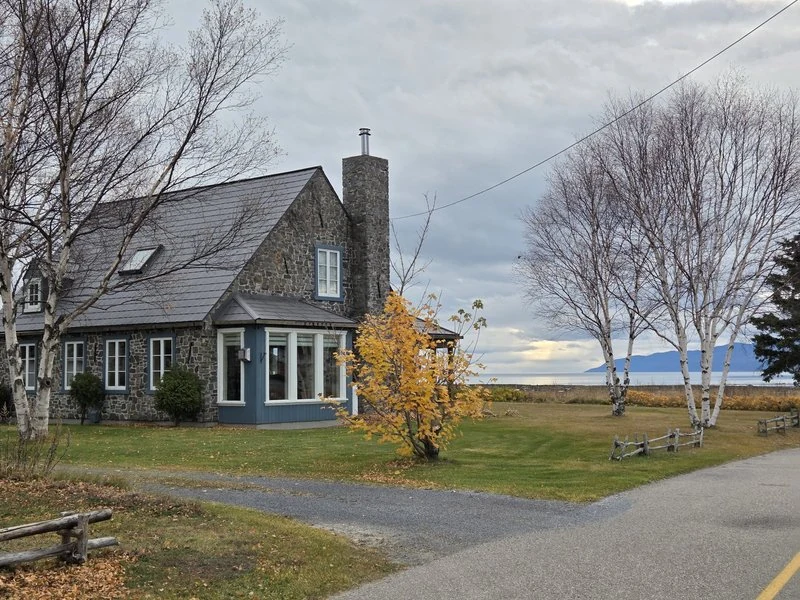
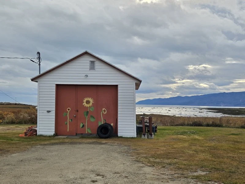
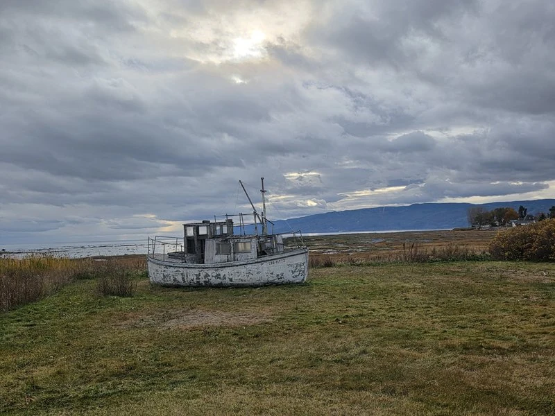
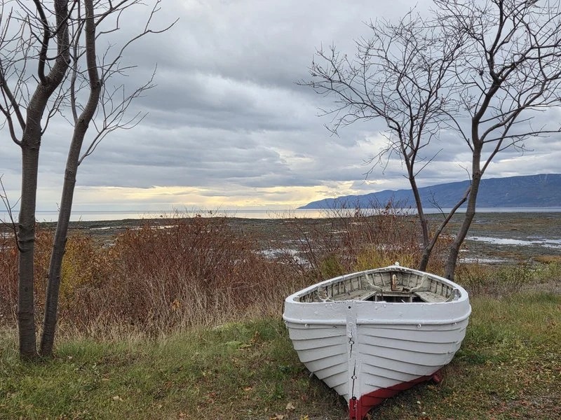
Back on the loop, the road itself becomes the attraction. The chemin des Coudriers hugs the water almost the whole way around — call it 23 kilometres of unhurried driving, past willows gone gold, stone houses with their backs to the wind, a shed with sunflowers painted on its red doors, and one old fishing boat resting in a field as if it had simply decided to retire there. It is also a road made for bicycles: the loop is a classic ride, and cyclists share it all season. By car or by bike, the rule is the same — slow down, and let the island set the pace.
⛪ Saint-Louis church, watching over its village
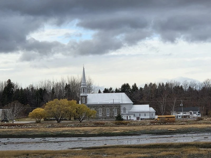
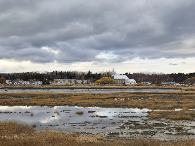
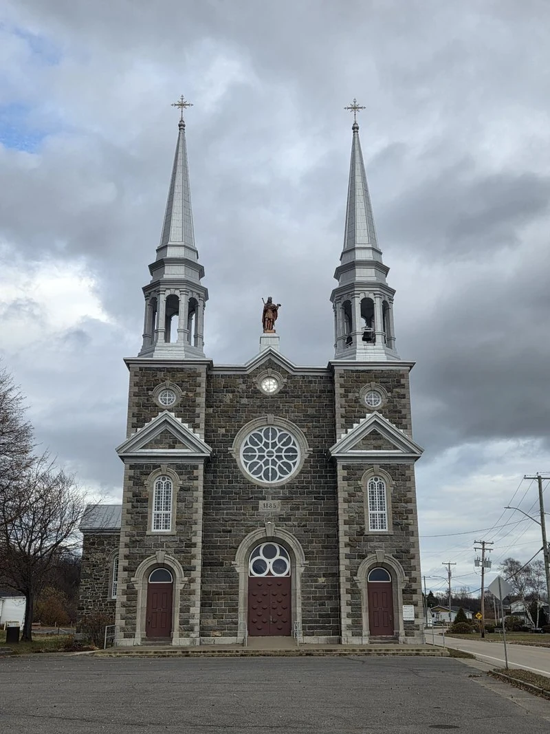
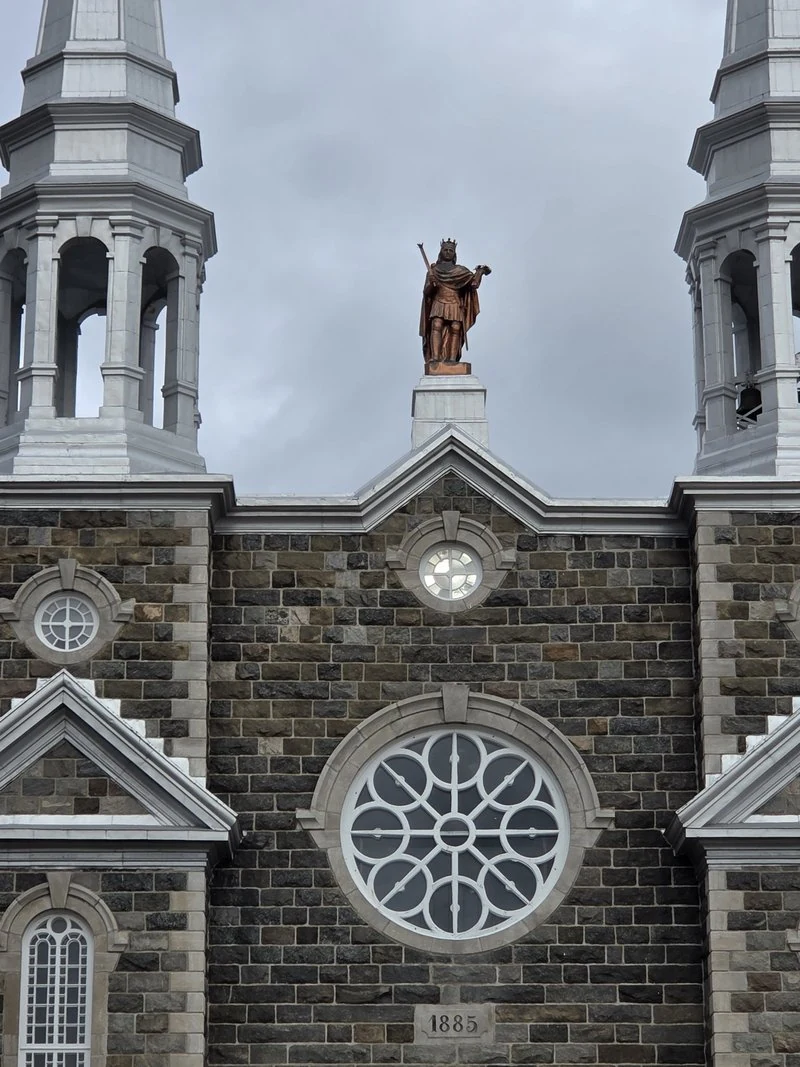
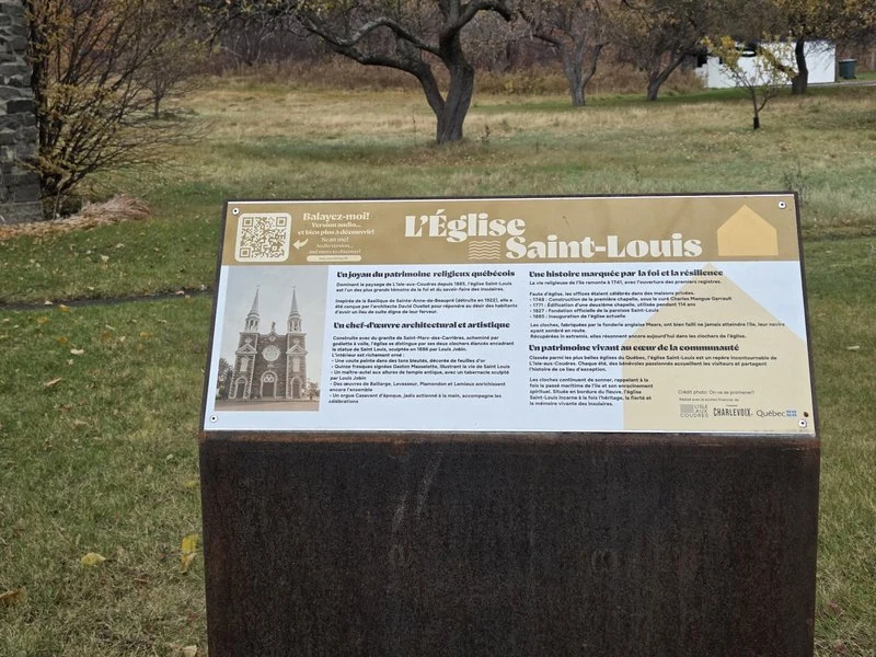
From across the flats, the village of Saint-Louis lines up along the shore — school, houses, and above them all, the twin spires of the church. This is one of Québec’s beautiful old churches, and it knows it. Built in 1885 to plans by architect David Ouellet, it was designed as a smaller echo of the great basilica of Sainte-Anne-de-Beaupré. Between the spires stands Saint Louis himself, carved by the sculptor Louis Jobin in 1886. And in the bell tower hang three bells cast by the Mears foundry in London — bells that were nearly lost in a shipwreck on their way to the island, hauled back from the sea, and are still ringing today. The parish itself dates to 1827, and worship on this shore goes back to a first little chapel of 1748. View on Google Maps
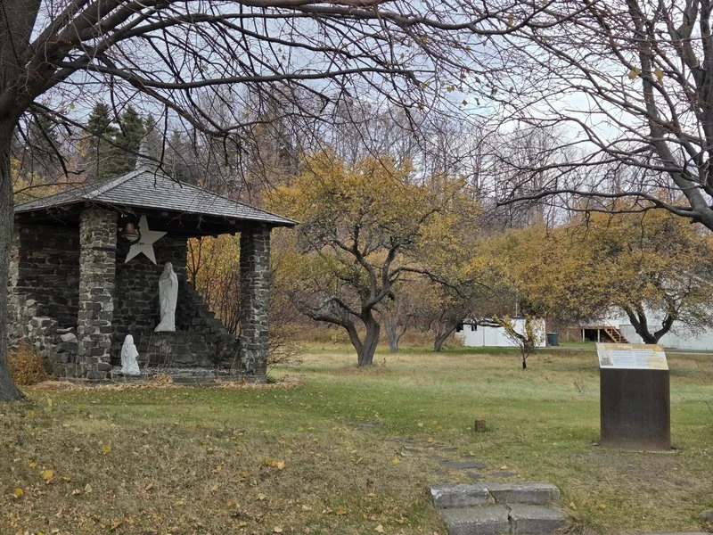
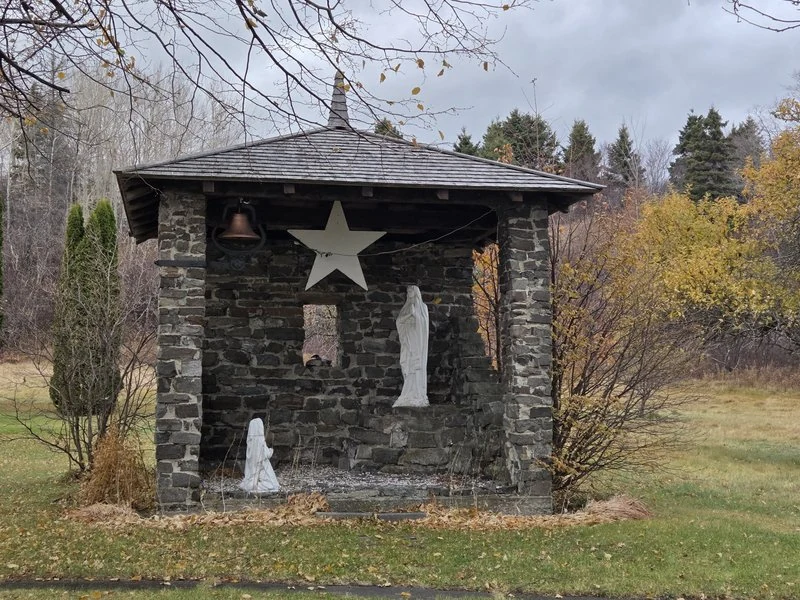
Beside the church stands something gentler: a little stone grotto shrine open to the sky — the Virgin in a pavilion of rough stone, a small bell, a great star, and a kneeling figure below. On an island this steeped in the sea and in faith, the two buildings side by side say everything.
🕯️ Chapelle Saint-Isidore: a tiny stone chapel from 1836
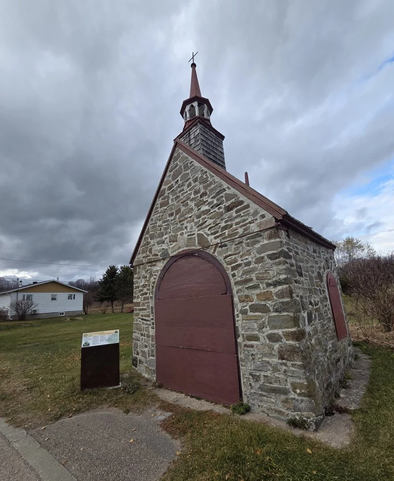
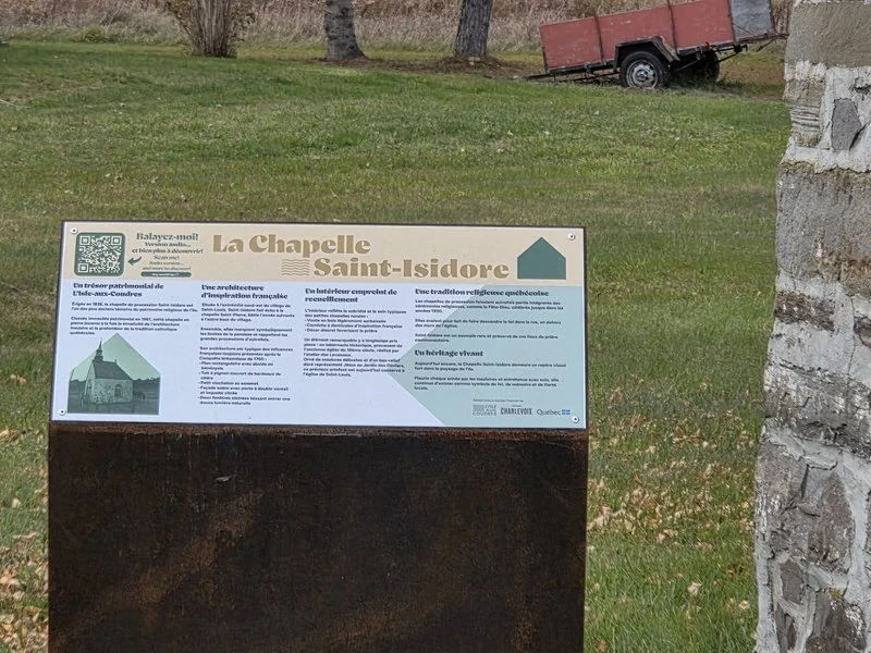
A few minutes along the road, watch for a chapel the size of a garden shed, built of rough stone with deep-red doors and a needle of a spire. This is the Chapelle Saint-Isidore, raised in 1836 and protected as classified heritage since 1961. It is one of a pair: its twin, Saint-Pierre, stands at the far end of the parish, and together they marked the two ends of the route for the Fête-Dieu processions — the little chapels were resting places, reposoirs, where the procession would pause. Processions like these were the heartbeat of Québec parish life for generations, and on this island you can still read that heartbeat in stone, one small chapel at a time. View on Google Maps
🗼 A lighthouse, old schooners and a general store
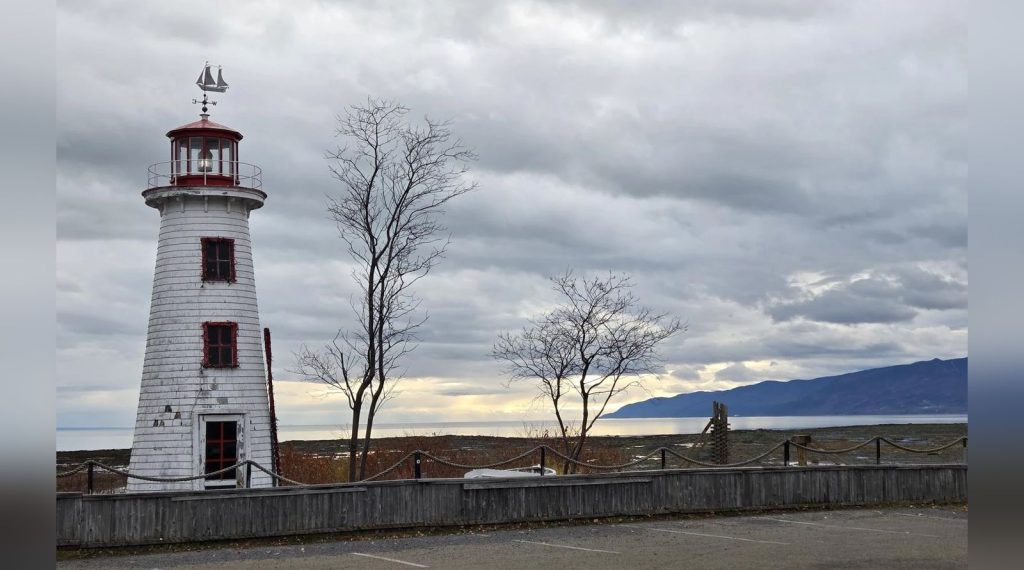
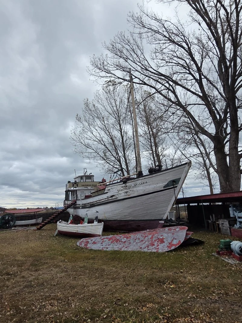
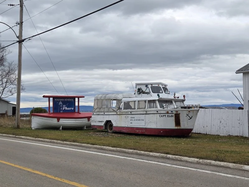
The island’s postcard lighthouse — white boards, red roof, a little ship for a weathervane — is not a working light at all: it is said to be a half-size replica of a Prince Edward Island lighthouse, standing on the shore at 1922 chemin des Coudriers. The grounds belonged to the Musée Les Voitures d’eau, the maritime museum that Captain Éloi Perron opened in 1973 to honour the wooden schooners — the “water wagons” — that once worked this river. The museum itself no longer operates; today a general store, Le Phare, keeps the site alive, and the great wooden schooner Mont Saint-Louis, built right here on the island, still stands on the grounds in honourable retirement, alongside smaller boats and an amphibious tour craft that still wears the name Capt. Eloi. View on Google Maps
✝️ Seventeen crosses along the road
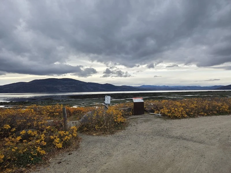
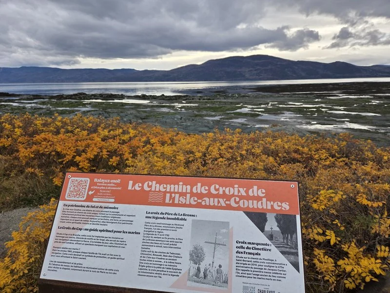
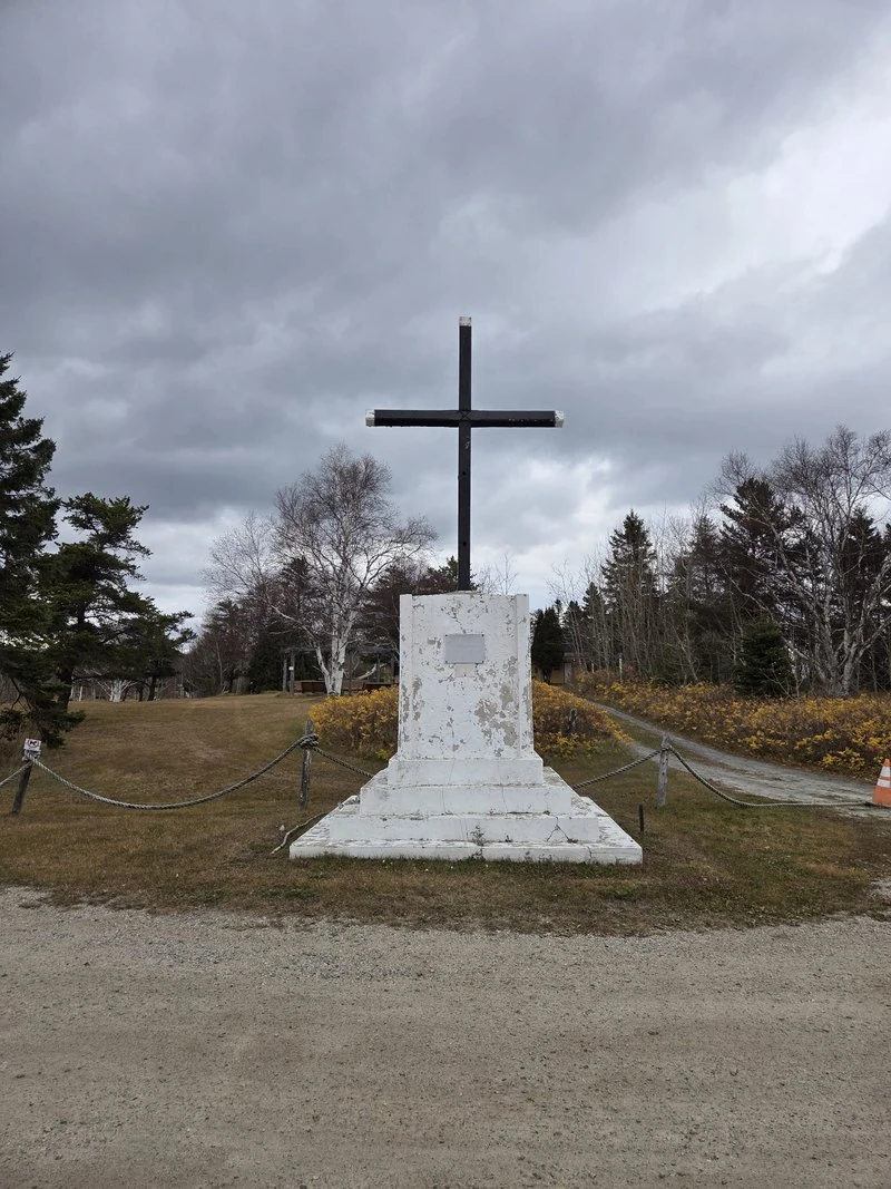
Somewhere along the drive it dawns on you: there are crosses everywhere. On corners, on capes, at the edges of fields — the island counts 17 wayside crosses, a whole signposted circuit of them. The Croix du Cap, raised by neighbours in 1957, once carried close to a hundred little lights, so that sailors could steer by it at night. The oldest stories gather at the Croix du Père de La Brosse, raised in 1848 where the Jesuit missionary Jean-Baptiste de La Brosse is said to have celebrated the island’s first mass — island legend holds that on the night he died in 1792, far away in Tadoussac, the bells of all his missions rang out by themselves at midnight. And near the ferry landing, a cross marks the old French sailors’ cemetery; it was set there in 2010, 475 years after Cartier’s ships anchored in the bay below. Tip: the crosses are easy to fly past — treat them as the island’s punctuation, and stop for the ones that catch your eye.
🌅 Sunset over the flats
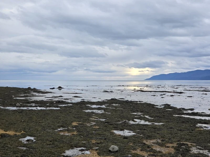
If you can, arrange the end of your loop the way the island seems to want it: facing west, over the flats, as the light goes. The tide pools catch the sky, the far shore of Charlevoix turns blue, and for a few minutes the whole river is hammered gold. It is the island’s daily masterpiece, and like almost everything else here, it costs nothing at all.
🍞 Boulangerie Bouchard: come for the chocolate bread
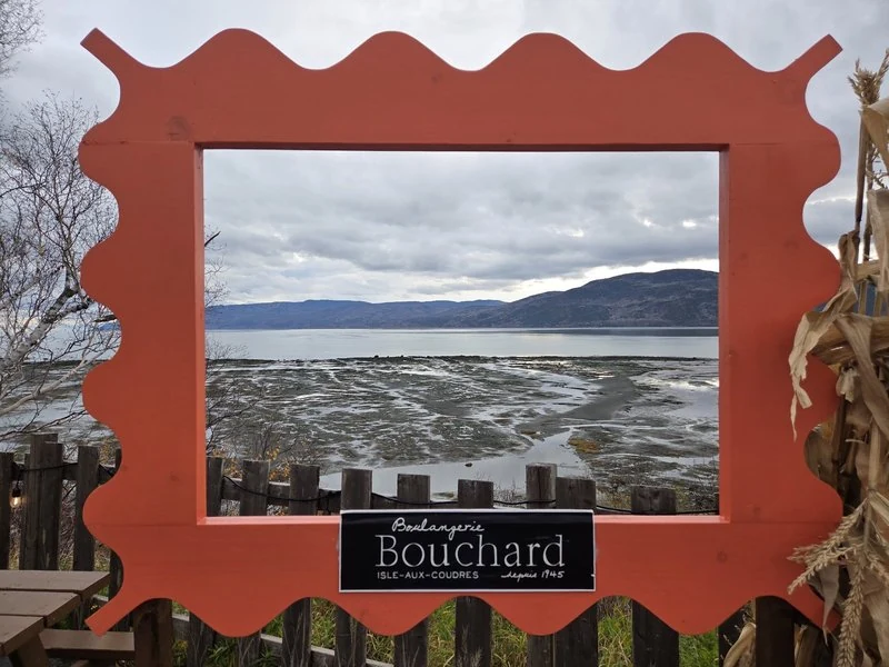
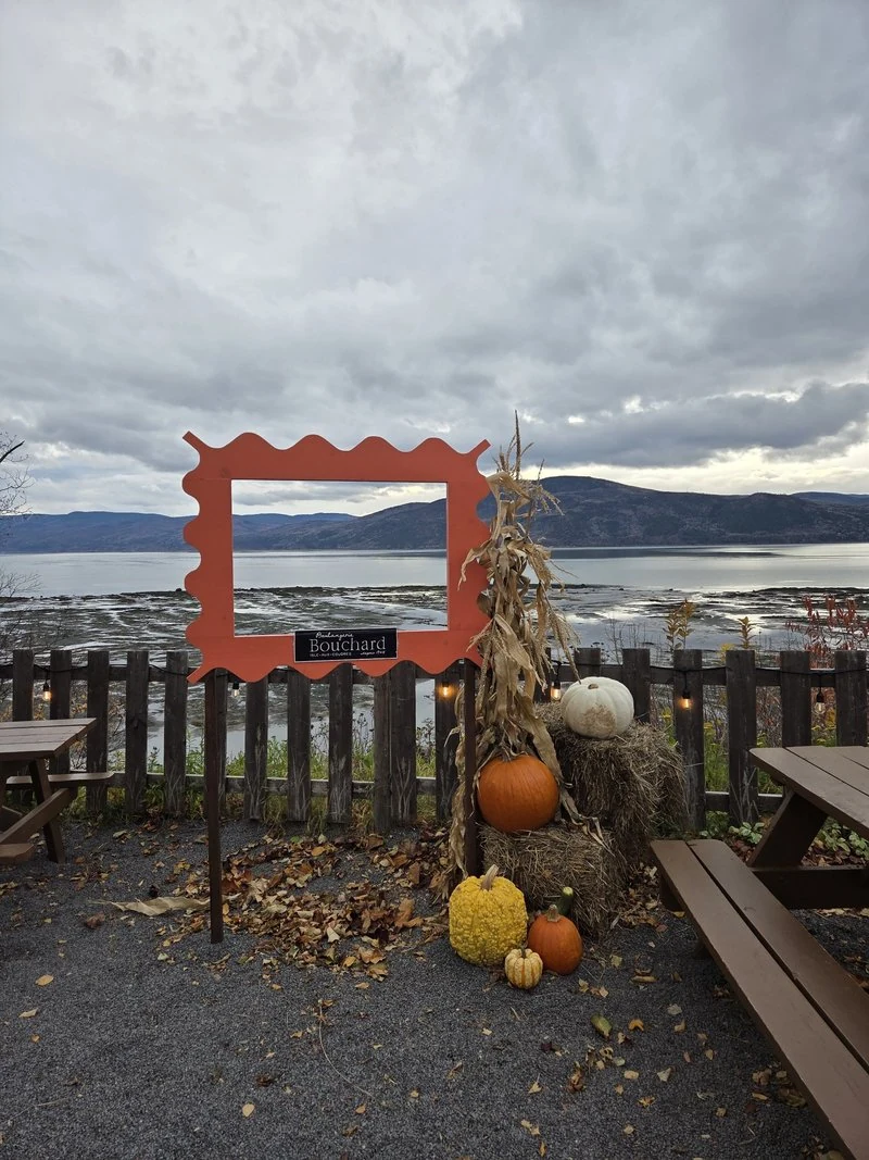
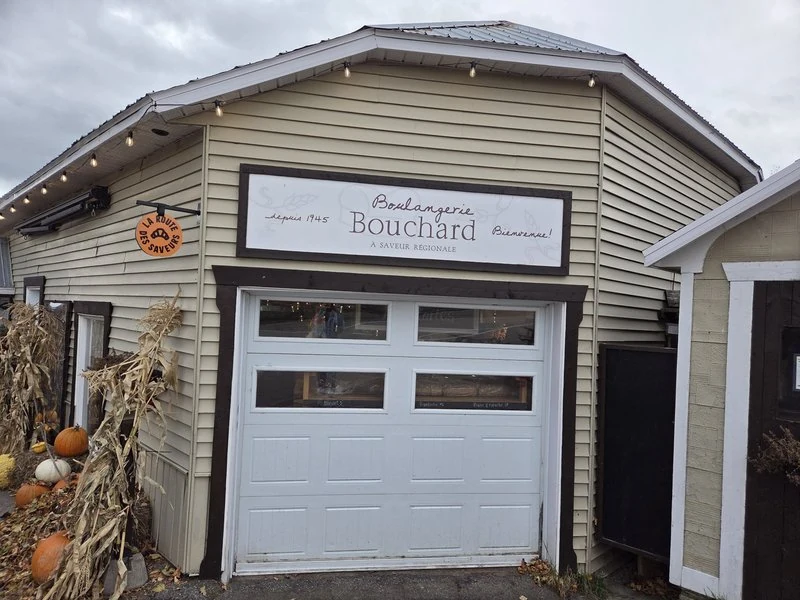
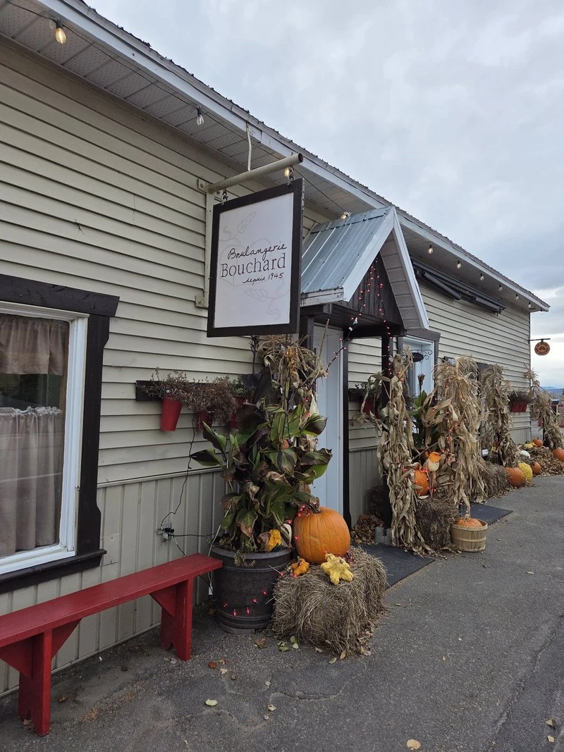
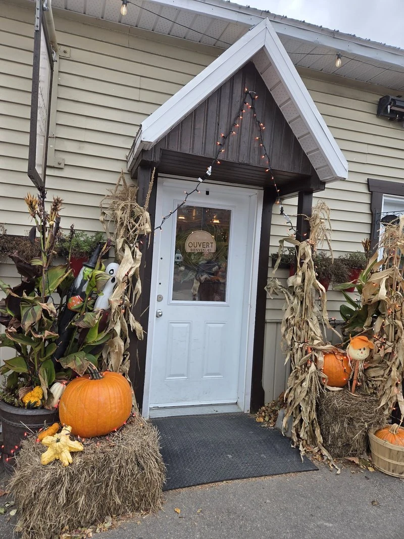
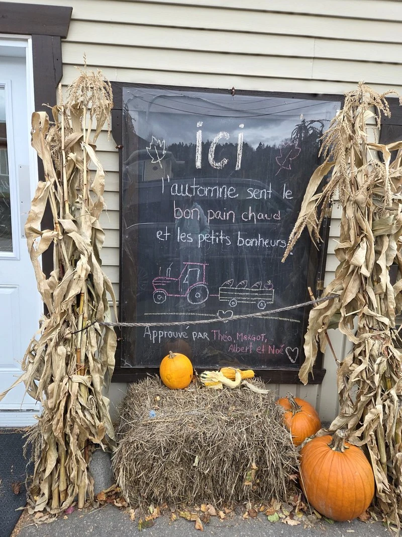
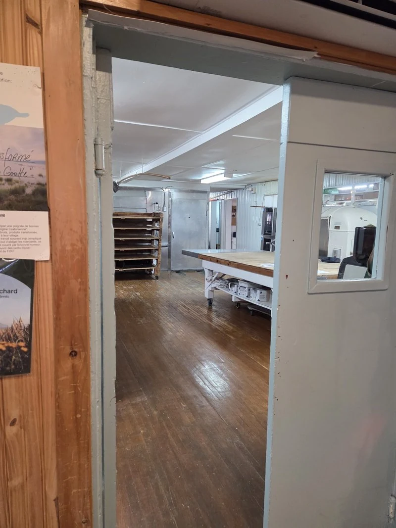
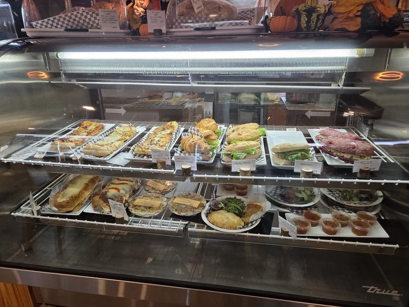
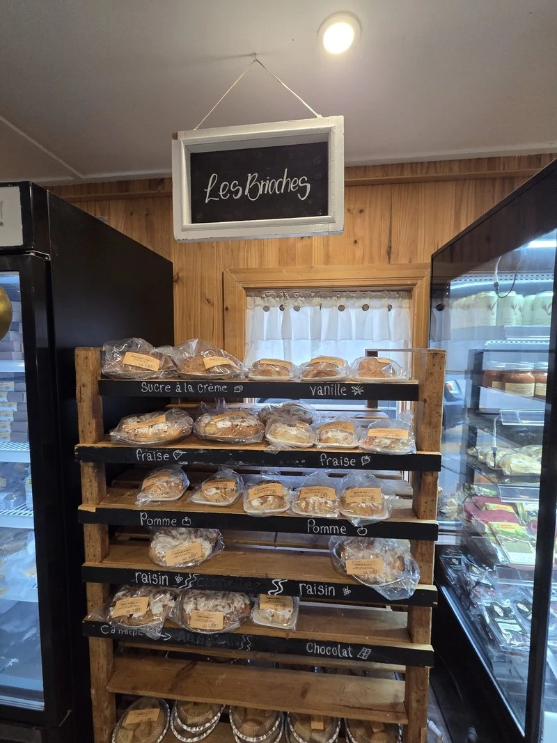
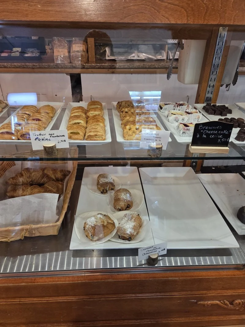
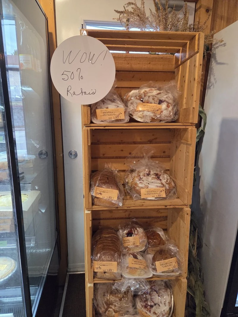
Now the stop I crossed an island for without knowing it. At 1648 chemin des Coudriers, a red frame on a terrace frames the river like a painting — and behind it, a bakery that has been feeding this island since 1945. Boulangerie Bouchard is a happy accident waiting to happen: I had not planned it, I simply stopped, the way you do when a place looks loved. There is a terrace with picnic tables facing the flats, a peek through the door into the workroom where the bread is actually made, a deli case of sandwiches and tourtières, a whole shelf of brioches in flavour after flavour, and — be still my heart — a discount rack by the door. The bakery is famous for its pâté croche and its tarte Grand-Mère — the tarte is still on my list for next time, but the pâté croche is not, because I ate it right there. We had stopped in after passing the gas station, and the smell of baking met me the moment I stepped through the door: everything here is made from scratch, right on the premises. The pâté croche is a little meat pie folded up like a dumpling — the house signature — and it tasted every bit as good as it smelled. I was so hungry I didn’t jot down a single note; it went straight into my mouth. This is a home-style place, cooking with a mother’s touch, and the pâté croche gets my wholehearted recommendation. This time, the bread chose me. View on Google Maps
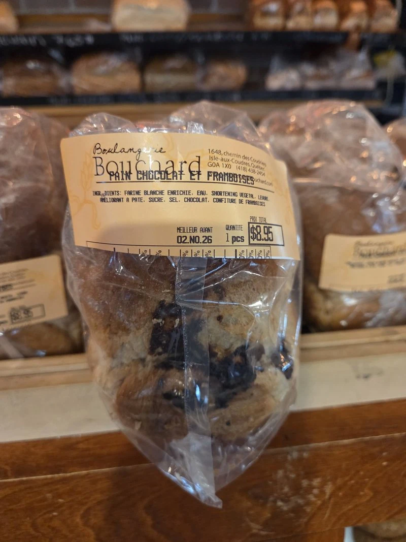
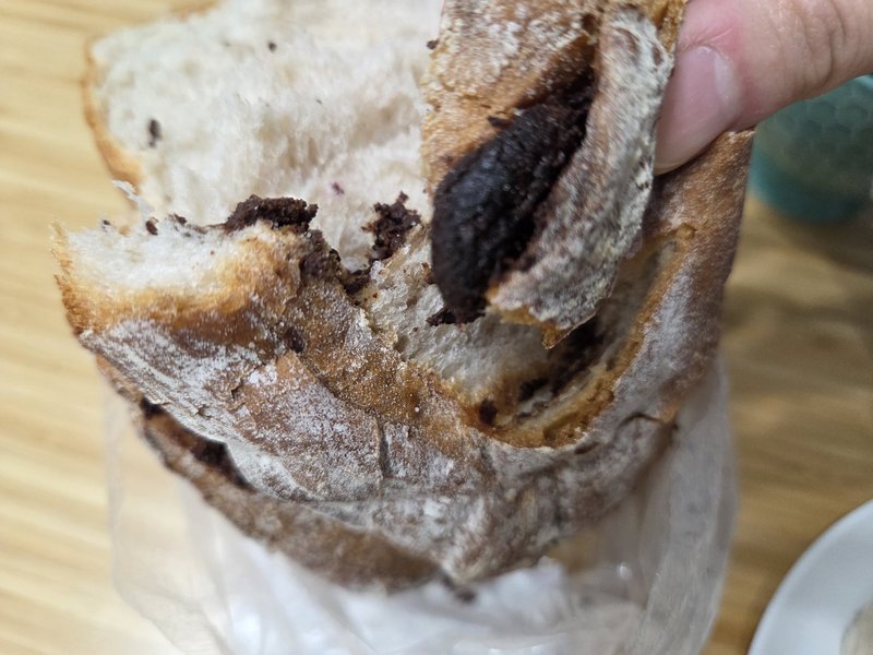
The chocolate bread — a chocolate-and-raspberry loaf, torn open in the car before I had even left the island — is, and I choose this word carefully, insane. The chocolate is dark and deep, and there is an almost unreasonable amount of it, threaded through a crumb that still tastes of real grain. I have eaten a lot of bakery chocolate bread in two countries. This one made me laugh out loud, alone in the car, like a woman who had just won something. If you stop for one thing on Isle-aux-Coudres, stop for this loaf. Buy one. No debate.
🧭 Good to know before you go
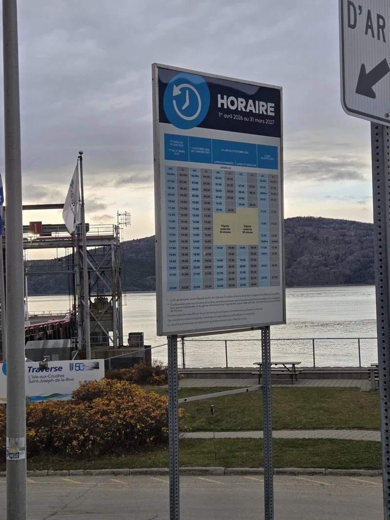
The schedule is posted at the terminal, and the STQ site carries the current version — crossings run from early morning to late evening, more often at busy hours, and boarding is first come, first served. My honest advice, after one perfect day: do not squeeze this island into an hour. Come with time in hand, walk the flats at low tide, sit on the benches, let the loop unroll slowly — and if a day still feels too short, stay the night and let it be a full reset. The island rewards exactly the pace it keeps.
| The loop at a glance | Good to know |
|---|---|
| Ferry | Free, car included · about 15–20 minutes · year-round, first come, first served |
| The loop road | Chemin des Coudriers, about 23 km around the island |
| Pointe du Bout d’en Bas park | Free entry and parking · about 2 km of trails · toilets and picnic tables |
| By bike | Ferry landing to the park: about 5.7 km, roughly 20 minutes (island tourism office) |
| Boulangerie Bouchard | 1648 chemin des Coudriers · baking since 1945 · check opening hours before you go |
| The day’s budget | Ferry $0 · park $0 · viewpoints $0 — a picnic, plus one chocolate bread |
And the loveliest part of the arithmetic bears repeating: the ferry costs nothing and the park costs nothing — bring a picnic or gather one as you go (Chez Paul at one end of the loop, Bouchard at the other), and a full day’s reset on one of the prettiest islands in the St. Lawrence comes down to fuel and a loaf of bread. That is the whole philosophy of this series, floating on a free ferry.
🌊 River or Sea? The Truth About This Salty “River”
Stand on this island and look at the water long enough, and it stops making sense. It stretches to the horizon, it pulls back at low tide to reveal mudflats like a seashore, and the breeze smells of salt. Yet every map insists this is the St. Lawrence River. I always wondered: is it a river or the sea — and where does one become the other?
The honest answer is: neither, and both. The water around Isle-aux-Coudres is what geographers call the middle estuary — a brackish stretch where river water and seawater mix. A salty river, if you like. The boundaries run like this: salt starts creeping in at the eastern tip of Île d’Orléans, just past Québec City (upstream of that, it is a true freshwater river); by Tadoussac the water is fully seawater; and past Pointe-des-Monts the “river” opens into a wide gulf — effectively an inland sea. Isle-aux-Coudres floats right in the middle of the mixing zone.
That is also why low tide here is so dramatic. The tidal range in this stretch is large — roughly 4 to 5 metres — and the island’s shores are gently sloping sandstone flats, so the water retreats a very long way sideways. At low tide, the island itself grows from about 11.2 × 4.3 km to 15.0 × 6.3 km. Those vast mudflats you have been walking through all post long are simply what the water leaves behind.
One related mystery, solved while I was at it: when I first came to Montréal, the gulls there baffled me — seagulls, in an inland city? It felt so strange. It turns out Montréal’s gulls are mostly ring-billed gulls, a species that breeds on islands in the river itself rather than out at sea. With a river this wide and islands to nest on, Montréal’s riverbank is simply their home turf. The seagulls never got lost — this river is practically a sea.
And here is the part that genuinely surprised me. This mixing zone is not just about salt — it is also where the sea’s residents stop. In summer, the western edge of the St. Lawrence belugas’ habitat is this very island: Isle-aux-Coudres on the north shore, Saint-Jean-Port-Joli on the south. Stand here in July and you are standing on the western border of the beluga world. Come autumn, that border slides downstream to La Malbaie, as the herd shifts toward the lower estuary and the gulf for winter.
Belugas are not the only ones. Harbour seals are regular residents of this middle estuary, and every spring, capelin — a small, truly marine fish — comes ashore to spawn on beaches as far up as Saint-Irénée and Les Éboulements, along the very Charlevoix coastline this series has been driving. The sea does not merely mix into this river; its creatures move in and live here, right up to this island.
Which finally explains Tadoussac, a little further downstream. There, the Laurentian Channel — a deep underwater canyon running some 1,200 km from the Atlantic — runs into a shallow sill at the mouth of the Saguenay and ends. Cold, krill-rich water wells up over that sill and gathers one of the great krill concentrations of the Northwest Atlantic; and where the krill gathers, the whales follow — some thirteen species of marine mammals come to feed in that one spot through the summer.
One last note for the road east. Off La Malbaie — in front of the Fairmont Le Manoir Richelieu — the water is noticeably saltier and more marine than here, though it still belongs to the same brackish estuary: a stretch where the colour of the water and the set of the current seem to keep shifting as the tide and the little Malbaie River trade places. If you want a water boundary you can truly see with your own eyes, continue to Tadoussac, where the Saguenay’s dark, tannin-stained “black water” meets the blue-green St. Lawrence along a line famous enough that travellers were writing about it more than a century ago.
Is the ferry to Isle-aux-Coudres really free?
Yes — completely. The STQ crossing from Saint-Joseph-de-la-Rive carries cars, cyclists and walk-on passengers at no charge, all year round. Boarding is first come, first served, and the ride takes about 15 to 20 minutes.
How much does a day on Isle-aux-Coudres actually cost?
Very little, which is rather the point of this series. The ferry is free, the Pointe du Bout d’en Bas park is free, and the churches, crosses and viewpoints cost nothing. Bring a picnic, or pick up supplies at Chez Paul and something from Boulangerie Bouchard — beyond fuel, the chocolate bread may be your only necessary purchase.
How long do I need for the island loop?
The shore road is about 23 kilometres, so the driving alone is quick — but the stops are the island. Give it at least half a day, and a full day (or one night) to do it justice. Cyclists love this loop too; the island tourism office puts the ride from the ferry landing to the Bout d’en Bas park at about 5.7 kilometres, roughly 20 minutes.
When is the best time to visit Isle-aux-Coudres?
The ferries run all year, so the island never really closes. My own favourite is after the busy season winds down: the roads empty, the park quiets, and the island turns peaceful in a way that has to be experienced. Just dress for the river breeze.
Quick question before you go: for your own reset day on the island, which would you make a beeline for — the Virgin on the water, the sunset over the flats, or the chocolate bread? Tell me below — I read every answer.
📚 You May Also Like
- 5 Free Ferries in Québec: Cars, Islands & a Hovercraft
- Saint-Joseph-de-la-Rive: A Charlevoix Village Worth the Stop
- Baie-Saint-Paul Church: Charlevoix’s Oldest Parish
Happy wandering 💛
— J.
Take care, and see you on the next beautiful road.
Get the Free Canada Savings Checklist
Join the newsletter — get the free PDF checklist and weekly Canada savings tips in your inbox.
Read Next

Some links in this post are referral or affiliate links. If you sign up or buy through them, I may receive a bonus or commission at no extra cost to you. It helps keep this blog running — thank you!